Background imagery courtesy of the Medmenham Collection
Discussing new uses for aerial imagery is an important part of what we do.
Background imagery courtesy of the Medmenham Collection
Get Involved
The National Collection of Aerial Photography (NCAP) seeks to foster greater community engagement, particularly in areas where specialist knowledge is essential to our mission. We also aim to play a supportive role in facilitating educational initiatives within communities, enriching understanding and appreciation of our shared heritage.
Volunteering
At NCAP, there are numerous opportunities for volunteering with us. Through volunteering, individuals and groups can play an important part in contributing to our vision for aerial photography. We recruit volunteers who share our passion for preserving, digitising, cataloguing and making accessible the NCAP Collection. We’re committed to offering a programme that helps volunteers learn new skills, meet new people and gain confidence while contributing to our aims and objectives.
Key areas we are looking for contributions in:
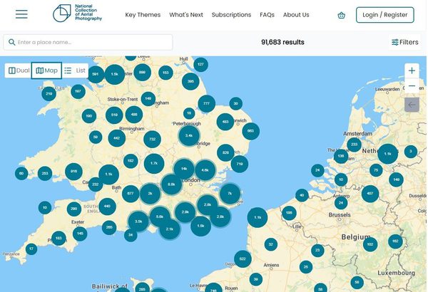
- Cataloguing and footprinting: using map-based visual interfaces, provide geographical data for individual images
- Digital asset preparation: assisting in the final stages of image preparation by checking metadata against systems
- Image interpretation: sharing key information and historical knowledge of digitised collections
school groups
As the demand and uses for aerial photography increase, we aim to make our collection relevant to younger audiences and establish educational partnerships. By meeting Key Stage criteria, including English, Scottish, Welsh, and Northern Irish equivalents, along with addressing homeschooling project goals, NCAP strives to enhance access and interaction with our collections through fresh and creative approaches.
We encourage teachers and learning facilitators to reach out to us, as we work to develop packages that align with educational objectives, fostering engagement and learning opportunities for students of all ages.
Key areas we may be able to provide support for include:
- Geography: providing visual aids for understanding geographical features, land use changes, map reading and interpretation of landscapes.
- History: offering insights into global conflicts, historical events, urban development, archeological landscape, and human impact over time.
- Computing and Science: studying ecological patterns over long time periods, natural phenomena, and environmental changes.
- Art, Design and Technologies: inspiring creativity and innovation in design projects, urban planning, architectural design, and spatial awareness.
- Mathematics: offering opportunities for mathematical investigations, measuring distances, calculating areas, and interpreting scale.
- Environmental Studies: facilitating discussions on environmental conservation, sustainability, and land management and stewardship.
- Cross-curricular Projects: incorporating imagery into interdisciplinary projects that span multiple subjects, fostering critical thinking, research skills, and collaborative learning.
research
The NCAP Collection provides a valuable resource for research. The 30 million images in the Collection provide a unique dataset that can be exploited by innovative research projects. We actively seek collaborative partnerships to analyse the Collection and answer crucial questions about the planet and human development. We have previously partnered with the universities of Stockholm and California (Berkeley) to answer urgent questions about the changing climate. We are committed to making the NCAP Collection as accessible as possible to researchers around the world.
Key areas for research and academic partnerships:
- Climate change: aerial imagery can illustrate geographical and environmental changes through regular and systematic documentation spanning 100 years.
- Human development: documentation of human impact informed through comparative analysis of geopolitical resources alongside visual records over time.
- Land use changes: recording changes to landscape by natural or human-made events, aerial imagery can be used to show the changing uses of urban and rural areas.
- Military history: visual records captured for the planning for, and post-event analysis in conflict provide historical documents relating to military histories.
IN THIS SECTION

Our Mission
With a responsibility for 30 million aerial photographic images, our goal is to preserve them and make them accessible for present and future generations.

Our Team
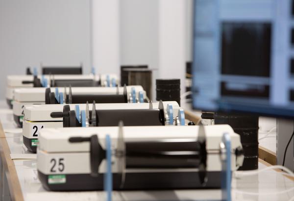
Meet the team of dedicated technicians, historians, analysts, cataloguers, data managers and robots who deliver NCAPs collections to the public every day.

Our Partners
We collaborate with organisations from around the world with the common goal of facilitating access to aerial photographic collections.

Release Notes Overview
Explore newly released aerial imagery on Air Photo Finder, with detailed summaries of each batch from NCAP and partner collections.

Historic Environment Scotland
Operating as a part Historic Environment Scotland, we are able to work closely with colleagues across archives and business support to help meet our goals.