Guides Interpreting Aerial Images

Interpreting Aerial Images

Aerial Photographs can be difficult to interpret and analyse. On a map, features are standardised to aid understanding. By contrast, an aerial photograph presents raw visual data, captured by a camera from thousands of feet above the earth. Photographic interpreters and imagery analysts use a range of techniques to extract useful information from a photograph.

A black and white aerial photo of Rosyth docks. The image is busy and confusing. The sea is at the bottom edge with some ships in dry docks or tied up at piers. There are numerous industrial buildings and roads. At centre right is a small woodland.

Stereoscopic Viewing

One of the elements that made Allied photographic reconnaissance so successful during the Second World War was the use of stereoscopic viewing. This allowed photographic interpreters to view aerial photographs in three dimensions. 

First developed in the 1830s, stereoscopes are binocular optical instruments which allow the viewer to look at two overlapping photographs at the same time. They work by presenting each image to each eye separately, whereupon a person’s natural depth perception ‘fuses’ the images into a single, three-dimensional image. This means that features which are not noticeable in two dimensions appear to have relief and are more visible. Aerial photographs have an overlap of at least 60% along the line of flight, to allow stereoscopic viewing.

A black and white aerial photo, with a large woodland occupying the top half and a mix of open country and water in the bottom half. Several roads curve through the woodland. To the right of centre are several buildings and an oval construction.

A black and white aerial photo of the same location as the image above but taken from further to the right. The woodland, buildings and oval construction are now in the top left corner. The right half and most of the bottom of the image show the sea.

Shape and Size

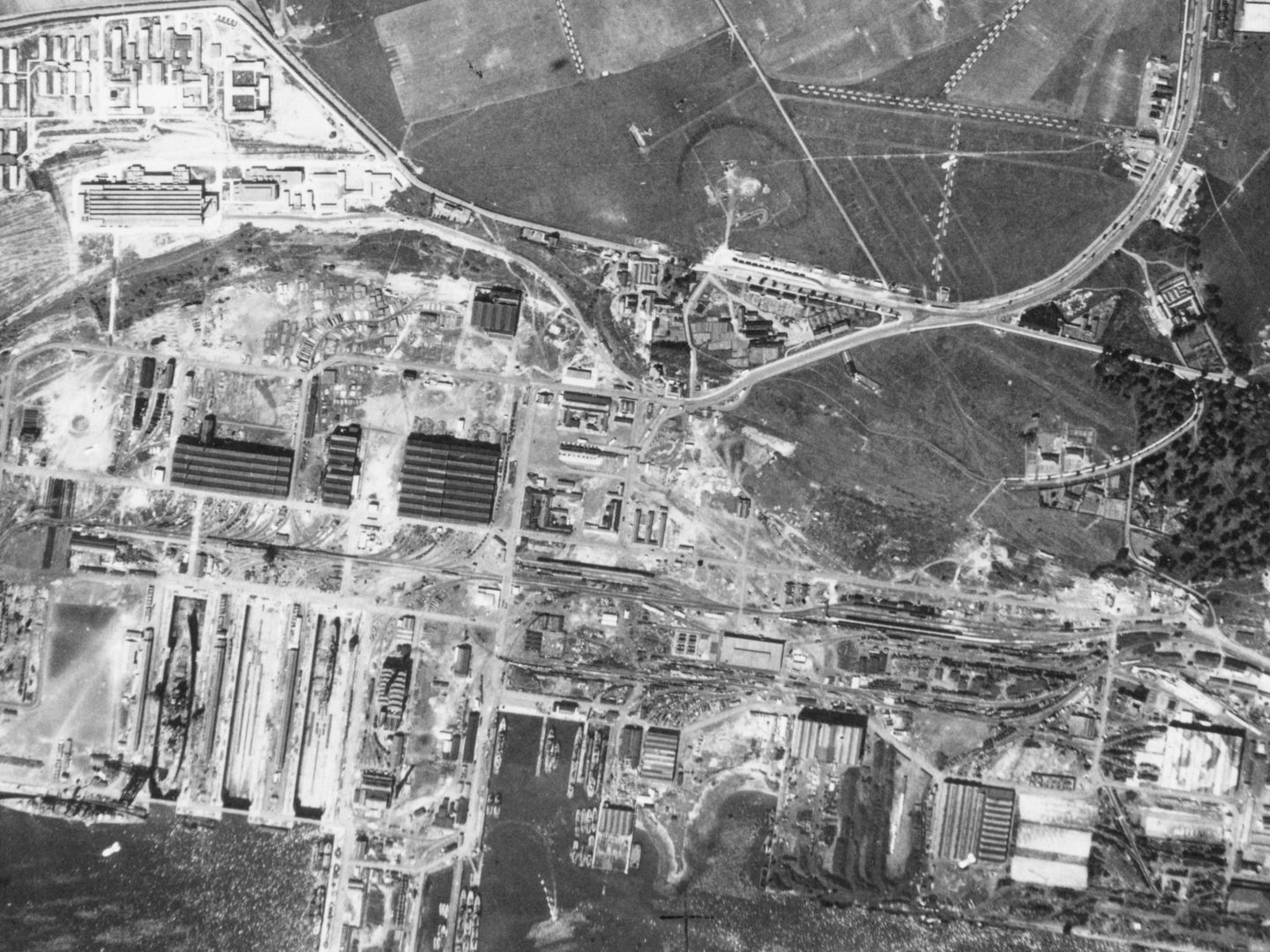
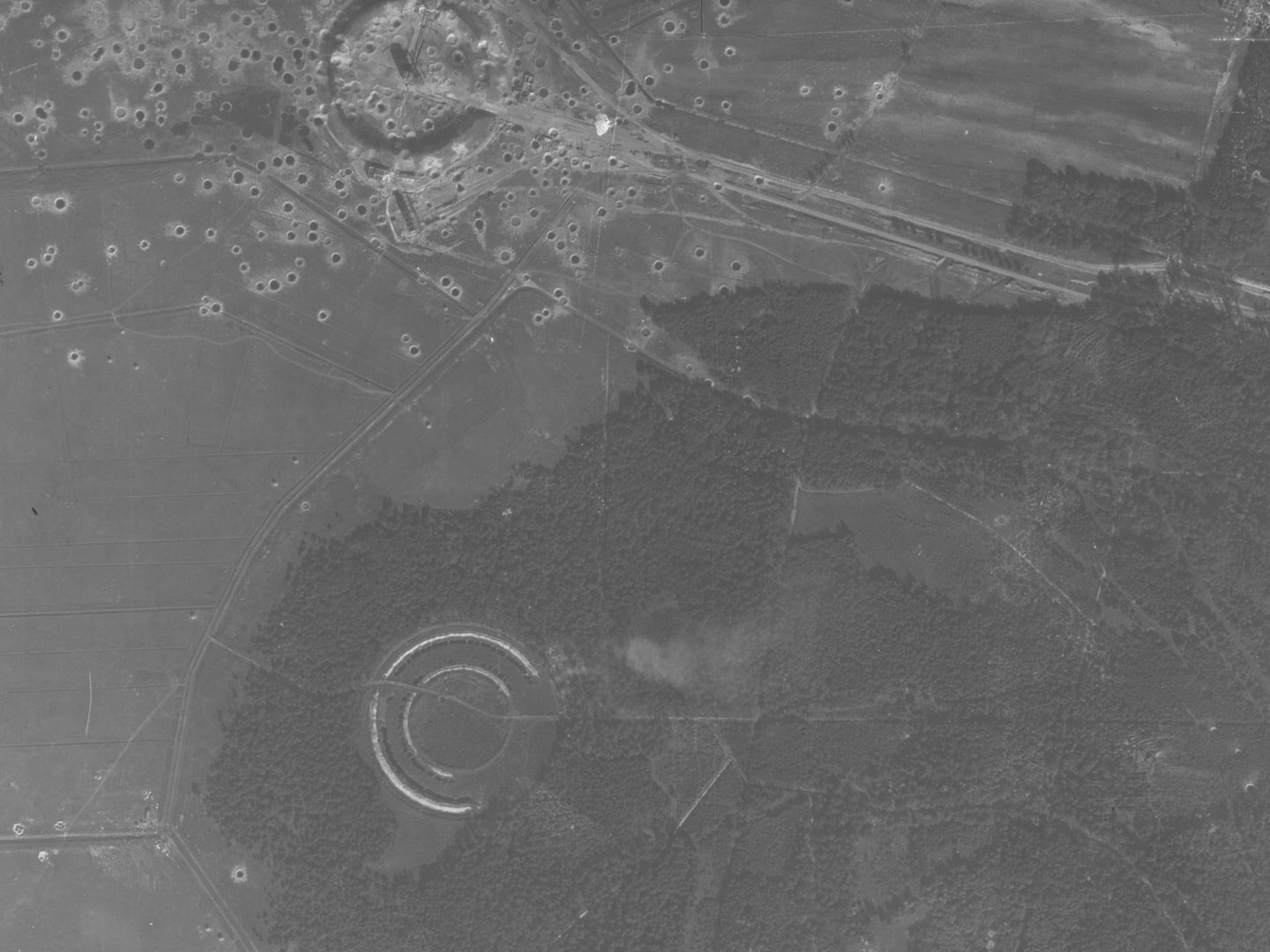
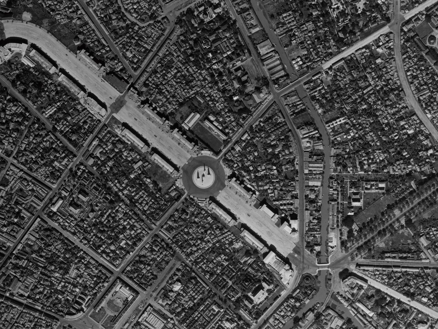
Shape refers to the general form, configuration or outline of an object and is usually the first thing the eye sees in an aerial photograph. Often it can provide immediate identification, but many features have a similar shape. For example, a circular object could be a gas holder, a well, a chimney or a roundabout, depending on its size and location.

A black and white aerial photo of Ravenscraig Steel Works. A railway runs from the top left corner to bottom right. To the left are 2 carparks and some buildings. To the right are 3 cooling towers belching white steam, and a cylindrical gas holder.

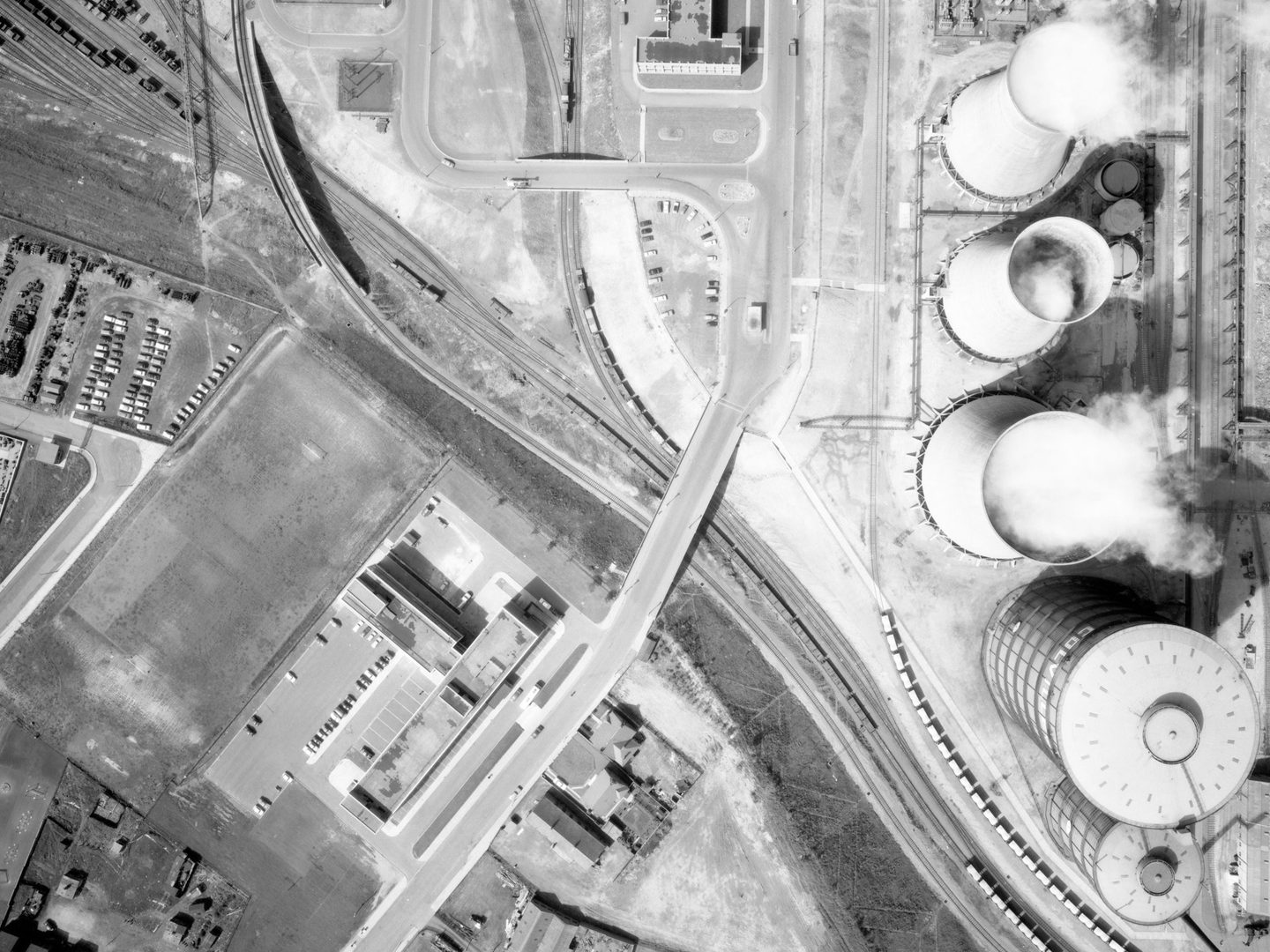
Size is another useful quick identifier. The size of a feature in an aerial photograph is found in two ways. The feature can be compared to a known and recognised object. If a round object is next to and much smaller than a house, it is more likely to be a well than a gas holder. Alternatively, if the scale of the photograph is known, the exact size of the object can be measured.

A black and white aerial photo, with the bottom and right sides taken up with a large woodland. A circular structure is visible bottom left in the woods. Another is visible at the top left surrounded by fields. It is marked with many bomb craters.

Shadow and Tone

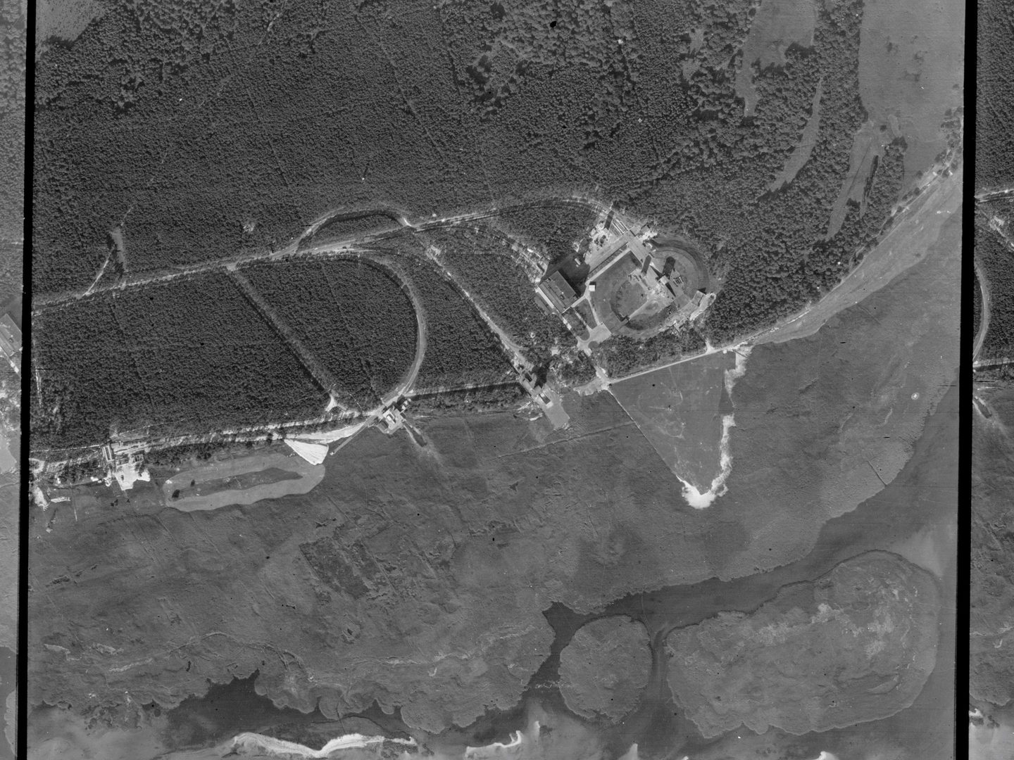
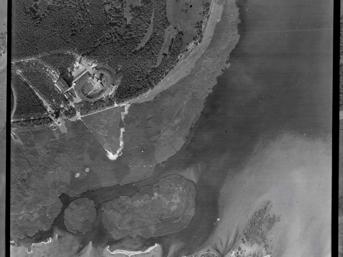
Shadows can reveal the profile or outline of an object, and are useful for determining its shape, height and construction. Shadows can show whether a feature is of open or solid construction, and can reveal the shape of a roof structure. Low-angle sunlight will cast long shadows from the slightest ground features. Tree shadows can be used to distinguish between coniferous and deciduous types. The height of an object can even be calculated from its shadow length, if the time and location of the photograph is known.

A black and white aerial photo of a river. A small area of bank is visible top left, with a larger area at bottom right. There are trees on the white banks. The sharp shadow of the Eiffel Tower stretches from top to bottom in the image’s right half.

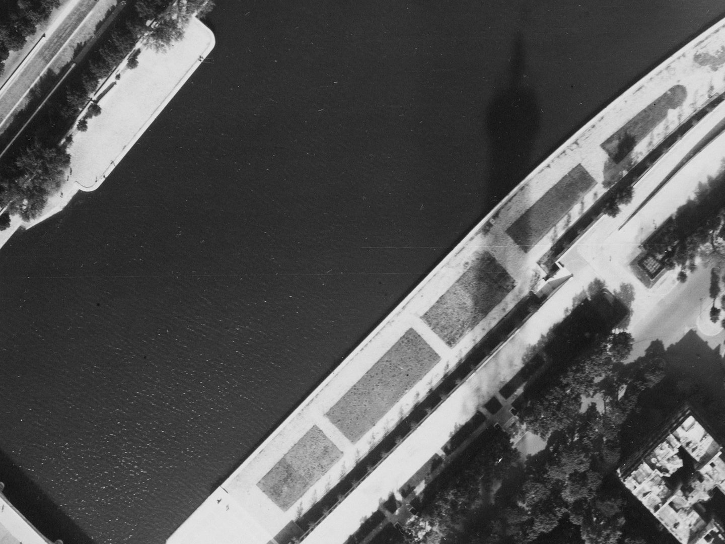
The relative brightness of objects in an image is described by the term 'tone'. Tone is related to both texture and colour and is the measure of the amount of light reflected back to the camera by an object. The smoother the surface of an object, the greater is the amount of light reflected, while the colour of an object has less effect on tone than might be expected. This is why a black asphalt road may appear lighter than a green field of grass.

A black and white aerial photo of Amsterdam. The pattern of streets and canals is clearly visible, with a large canal running vertically through the right half of the image. The water in the canals looks black and the streets look white.

Association

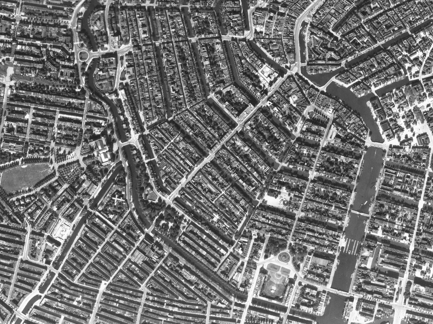
One way to understand what an object might be is its association to identifiable features on the ground. Gas holders, chimneys and roundabouts might all appear as ‘round’ features in a photograph. The presence of a gasworks, factory or road junction would provide context to help identify which of these it might be.

A black and white aerial photo of Bangkok. A broad boulevard runs from the top left corner to a large roundabout in the middle of the image. Buildings are densely packed either side of the boulevard. There is a smaller road and waterway to the right.

More Guides

A greyscale drawing of a plane flying above 6 trees. A triangle pointing straight down from the plane indicates the area covered by a vertical aerial photo. A triangle pointing down at an angle indicates the area covered by an oblique aerial photo.

Types of Aerial Images

The capture of aerial photography has most often been been a systematic process. Learn to identify each type and see how they differ.

A large-scale black and white aerial photo of Glasgow. The river from the previous images now occupies almost the whole frame. At the left side, ships are clearly visible docked next to the river. There are blocks of flats in the bottom left corner.

Scale in Aerial Images

Aerial photographs come in a range of different scales. Learn what impact different scales have on understanding aerial photographs.

A black and white aerial photo of Rosyth docks. The image is busy and confusing. The sea is at the bottom edge with some ships in dry docks or tied up at piers. There are numerous industrial buildings and roads. At centre right is a small woodland.

Interpreting Aerial Images

Learn more about how to analyse and understand aerial imagery to make the best use of it for your research needs.

A blue support for large rolls of film with a black winding handle. A black and white aerial film is being supported on the winder. It is lit from below with a white light.

How to Order Undigitised Images

Not all NCAP collections are digitised and shared on NCAP's Air Photo Finder. Using the historical finding aids or a paid search service, you can request images for scan-on-demand.

An Ordnance Survey map of the Orkney Islands. Islands coloured white are surrounded by a sea represented in blue. The map has been annotated with coloured lines showing where aerial photos were taken.

How to use OS Finding Aids

Finding aids show the geographic coverage of photographic reconnaissance missions in our collection.

A colourful map of a rural part of north Germany (including Wilhelmshaven), with blue representing water and green for woodlands. A straggling line of black boxes marked with numbers from P9 to P50 indicates where a reconnaissance plane took photos.

How to use Second World War Finding Aids

Learn how to use digitised original plotting information, finding aids, from the Second World War. This will allow you to locate and identify historical military aerial imagery of your areas of interest.