Types of Aerial Images
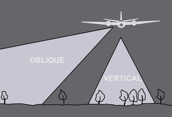
Aerial photographs are generally classified as being vertical or oblique. A vertical photograph has been taken with the camera pointing straight down toward the ground. An oblique photograph has been taken with the camera directed at an angle to the ground. Occasionally, aerial collections contain a small number of photographs taken on the ground when testing the camera before flight.
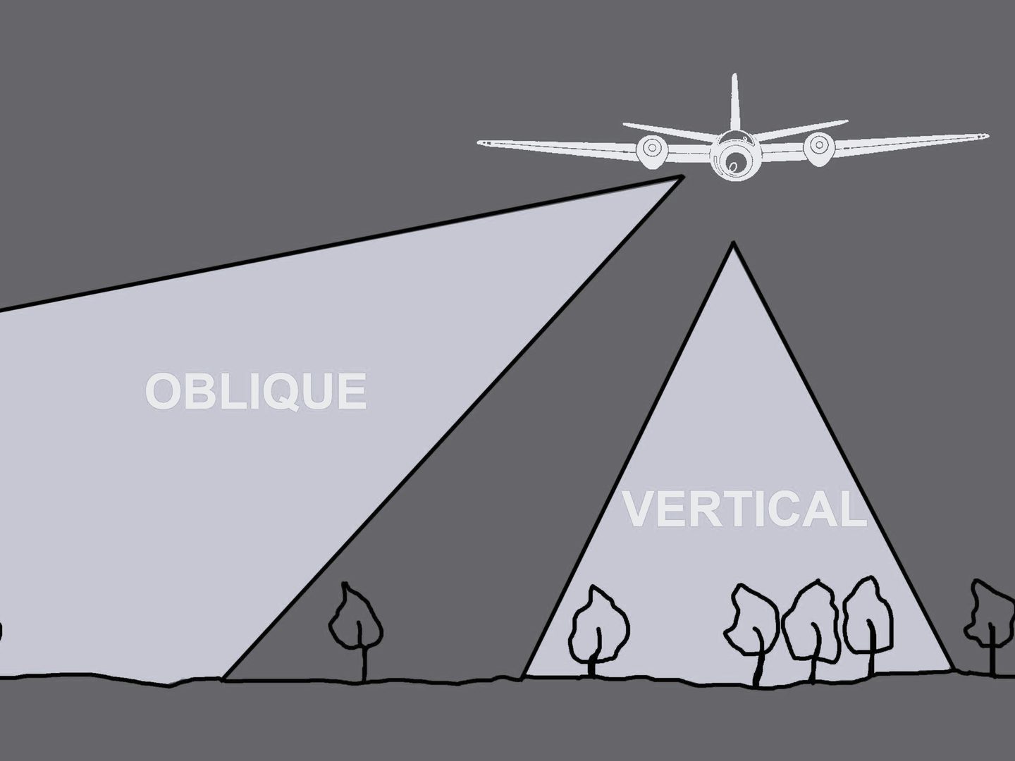
Vertical
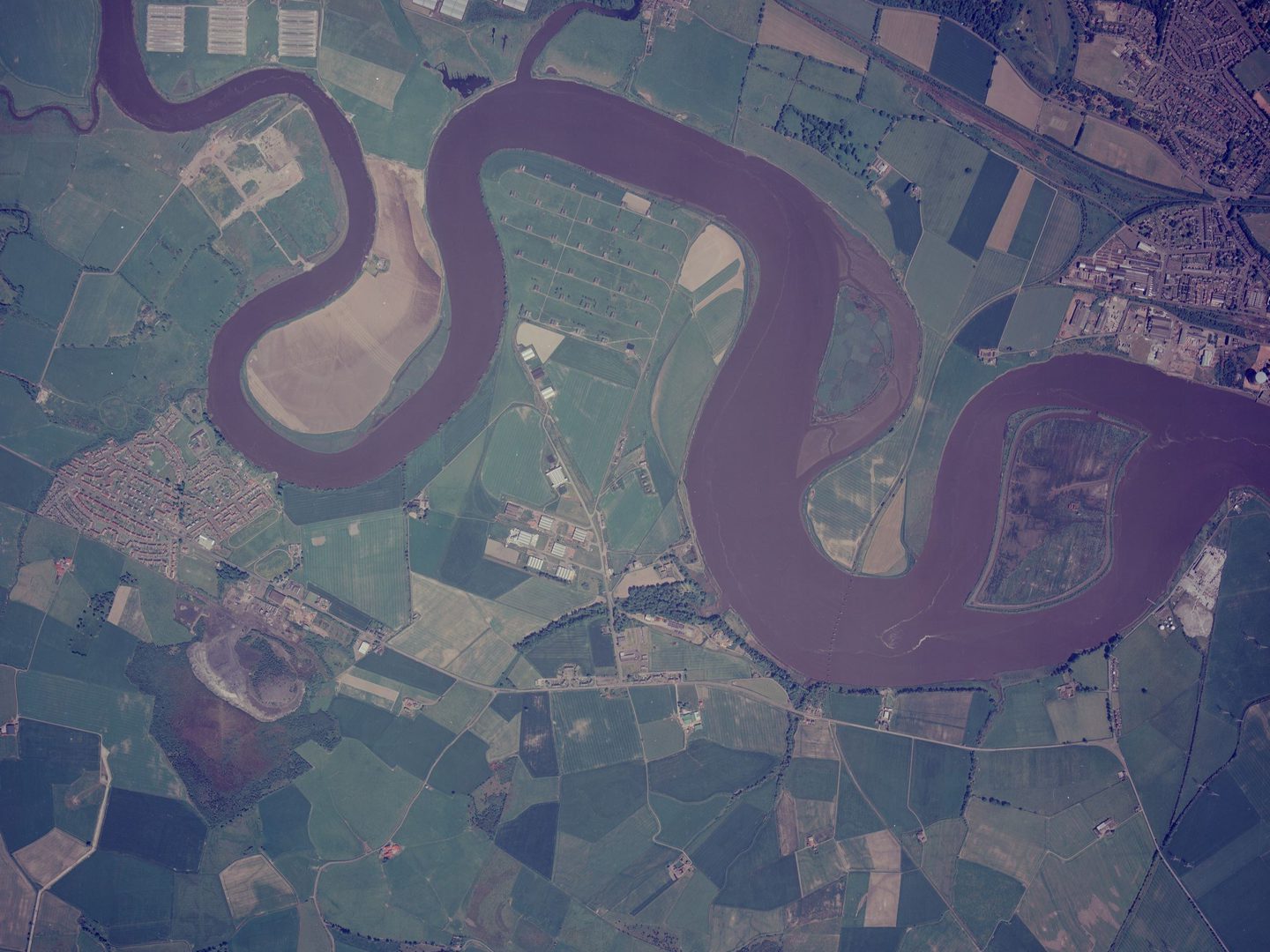
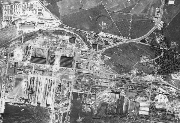
Vertical photographs are the most common type of aerial survey imagery. When scaled, objects and distances can be measured with great accuracy, which aids in their identification. Survey imagery is taken with a 60% overlap between each image along the line of flight, allowing them to be viewed in three dimensions thanks to the principle of stereoscopic viewing. Stereoscopy allows photographic interpreters to gain further information about the height of landmarks and buildings.
Vertical perspective photographs can provide useful information when used alongside mapping and other topographic resources. The detailed vertical photographs provided by National Collection of Aerial photography (NCAP) are used in the search for unexploded ordnance, in police investigations and the assessment of property boundaries.
Oblique
Oblique aerial photographs provide the viewer with a more readily understood image of a location. They are useful for looking at foreground building frontages and geographic features. These types of images are taken with cameras fitted either in the nose or fuselage of a plane. Oblique photographs are classed as ‘high’ – which include the horizon – or ‘low’, which only show the ground.
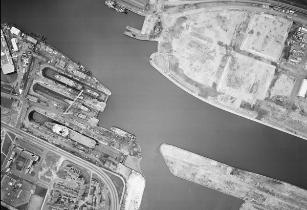
The image below is a low oblique aerial photograph showing the same part of the River Forth near Alloa as the vertical image above, taken nearly 50 years earlier. It shows the same area of land and water as the vertical image but is taken with the camera axis pointing to the north-east instead of straight down.
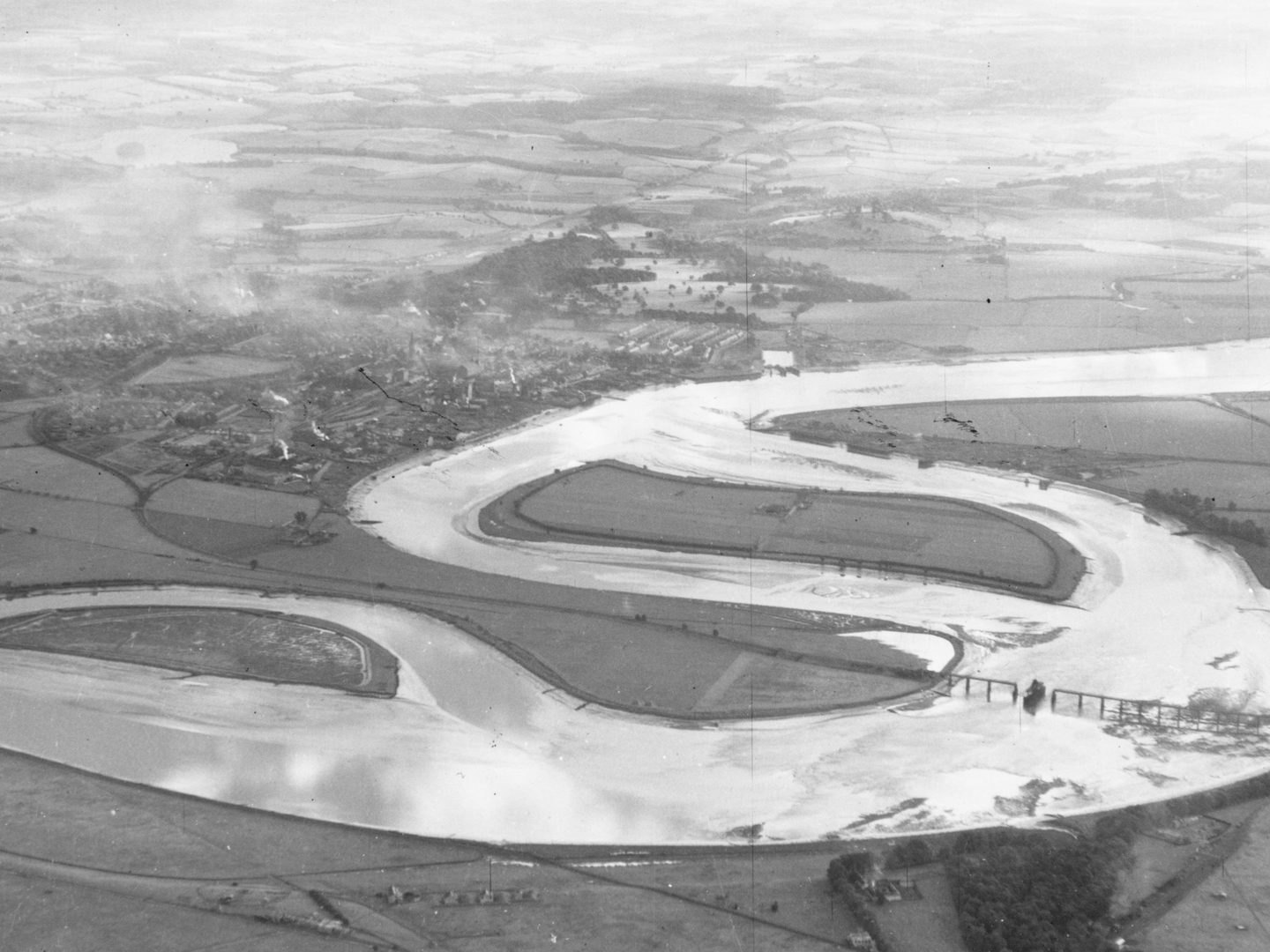
Features in the background of oblique photographs are often too small to be recognised or are hidden behind buildings. However, they can be very dramatic and more easily recognised by the viewer. During the Second World War these types of images provided information about hard-to-photograph sites such as bunker entrances and caves.
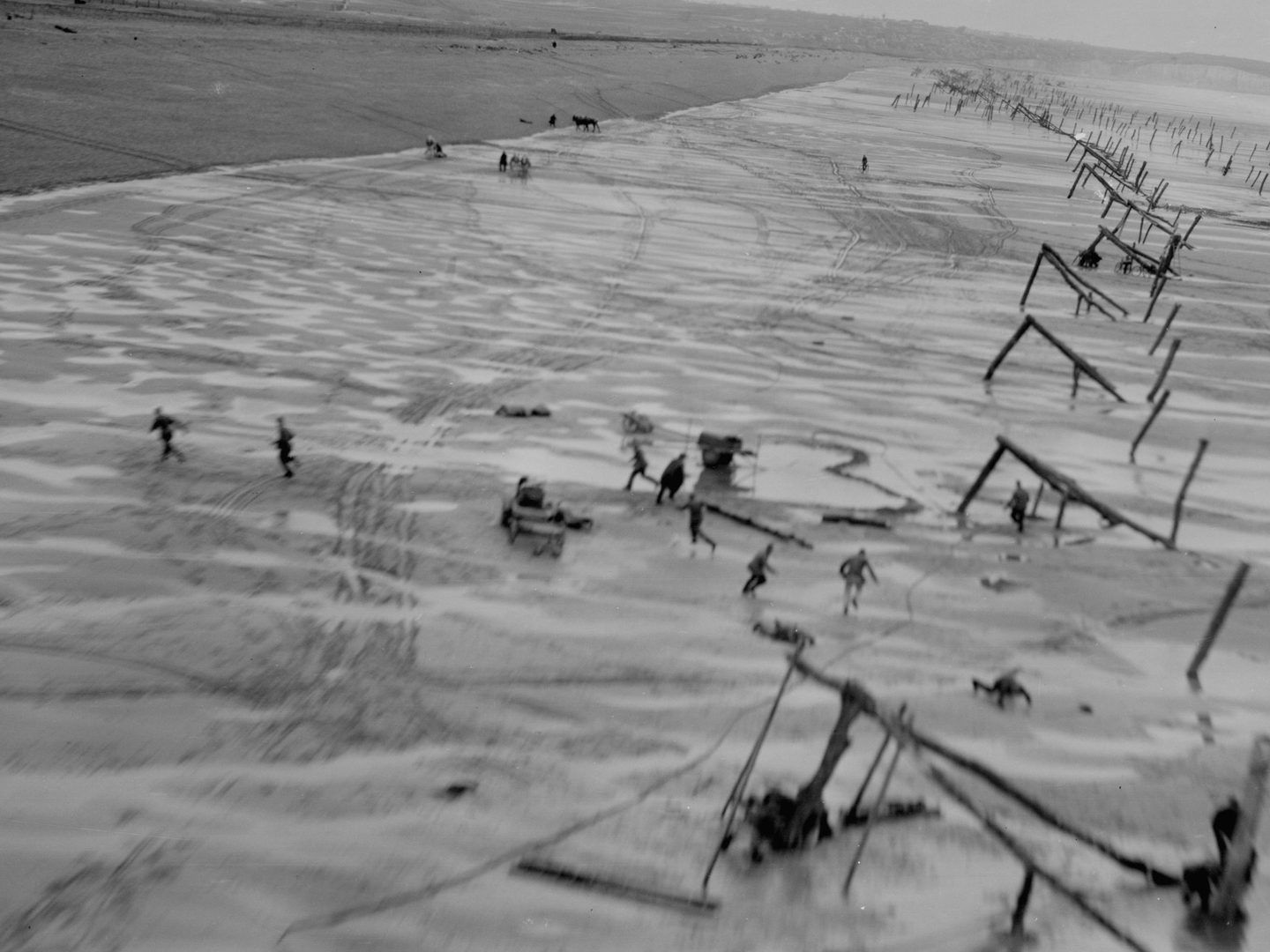
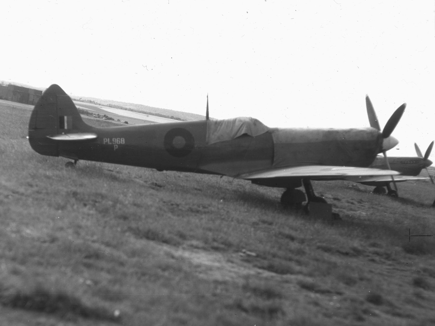
Ground
Although the vast majority of NCAP’s holdings are aerial photography, it also includes a small amount of imagery taken on the ground. Sometimes these were taken by military personnel for their own interests, while other ground photographs are what are known as camera clearing shots. Before a reconnaissance aircraft departed on a mission, it was good practice to test that the camera was fully functional by taking test photographs. Then on return, any unused film would be exposed. These images occupy the first and last few frames of a roll of film. Aircrew at work, landscape views of the airbase, and nearby aircraft or equipment are often captured in these candid images. Given the secure nature of airbases in times of conflict, photographs of this type are rare examples and an invaluable historical record.
More Guides
Types of Aerial Images
The capture of aerial photography has most often been been a systematic process. Learn to identify each type and see how they differ.
Scale in Aerial Images
Aerial photographs come in a range of different scales. Learn what impact different scales have on understanding aerial photographs.
Interpreting Aerial Images
Learn more about how to analyse and understand aerial imagery to make the best use of it for your research needs.