Image Collection
The National Collection of Aerial Photography (NCAP) is home to 30 million unique images, featuring historic events spanning 100 years and over 170 territories.
These photographic images are grouped into collections on the basis of the bodies that accumulated them. Some of these collections - such as the Joint Air Reconnaissance Intelligence Centre (JARIC) - contain millions of images and are still growing. Others are only a few thousand strong and record long-since completed projects.
NCAP has officially transitioned to a brand-new website and image viewing platform. Our legacy site has now been retired, but this is just the beginning—there are many exciting developments on the horizon.
Over the coming months a vast collection of already-digitised imagery is to be made available online. This will give users faster and easier access to an unprecedented volume of aerial photography. Sign up to NCAP’s monthly newsletter: Evidence in Camera to stay informed on collections and enhanced features coming soon.
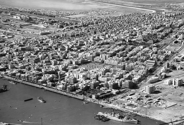
Aerial Photography Collections

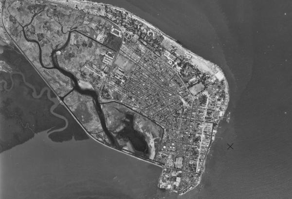
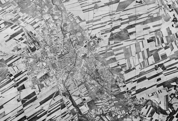
Allied Central Interpretation Unit
The ACIU Collection is home to 5.5 million photographic reconnaissance images taken during the Second World War, providing a visual record of occupied Western Europe.
British Aerial Survey Firms
NCAP has extensive holdings of photography taken by several important British aerial survey companies over a period of 50 years.
Defence Geographic Centre
The DGC Collection contains aerial photographs of locations around the world, originally used to create maps for issue to British and Commonwealth forces.
Directorate of Overseas Surveys
The DOS Collection provides a unique historical perspective, recording the changing landscapes of much of the Commonwealth throughout the 20th century.
Environment Agency
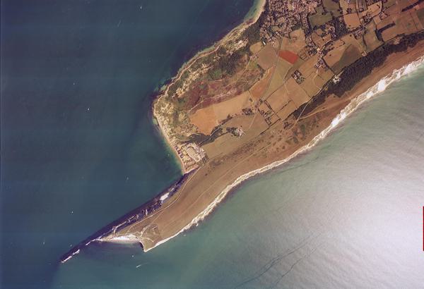
The EA Collection is a valuable record of the quickly changing coastal landscapes of the south-east of England, from Bournemouth round to Gravesend.
German Air Force
The GX Collection contains photos taken by the Luftwaffe during the Second World War, which were then used for intelligence purposes during the Cold War.
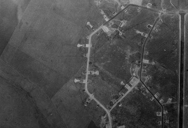
Joint Air Reconnaissance Intelligence Centre
The JARIC Collection holds millions of Cold War reconnaissance images and forms unique record of British interests and activities.
Mediterranean Allied Photo Reconnaissance Wing
The MAPRW Collection contains c.150,000 aerial photographs taken during WWII by Allied units operating from North Africa and Italy.
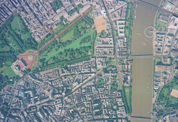
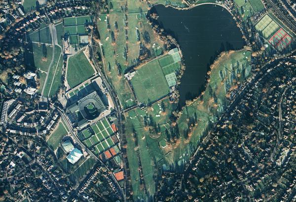
Millennium Mapping
NCAP is home to the Getmapping and UK Perspectives Collections, two parallel projects to create a visual record of the UK at the turn of the millennium.

National Archives and Records Administration
The NARA Collection contains worldwide imagery digitised as part of a partnership with the United States National Archives and Records Administration.
Natural Environment Research Council
The NERC Collection contains over 27,300 aerial photographs taken around Europe for research purposes on behalf of the British Geological Survey.
Scottish Office Air Photographs Unit
The Scottish Office APU Collection provides a remarkable, 100-year record of Scotland’s changing landscapes from 1.5 million aerial photos of Scotland.
Learn About Aerial Photography
Do you want to find out more about Aerial Photography and exploring the world from a different perspective?
How-To Guides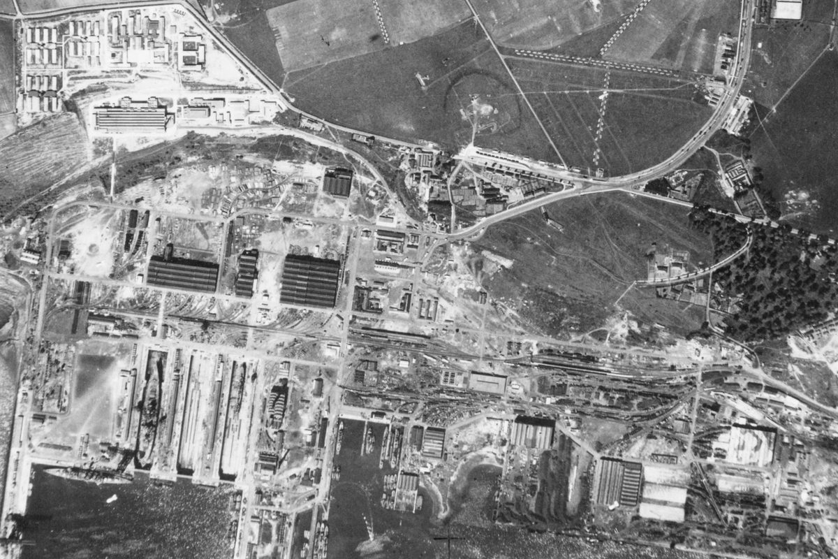

Archive Research
Discover the important context of collections and missions through our archival database online.
- Unexploded Ordnance risk assessment
- Assessment of site use legacy
- Identifying potentially contaminated land
- Land use change analysis
- Climate change research
- Property boundary disputes
- International boundaries research
- Historical map verification
- Insurance risk assessment
- Policy planning
- Cultural history
- Creative industries
- Animation and multi-media
- 3D applications
Finding Aids
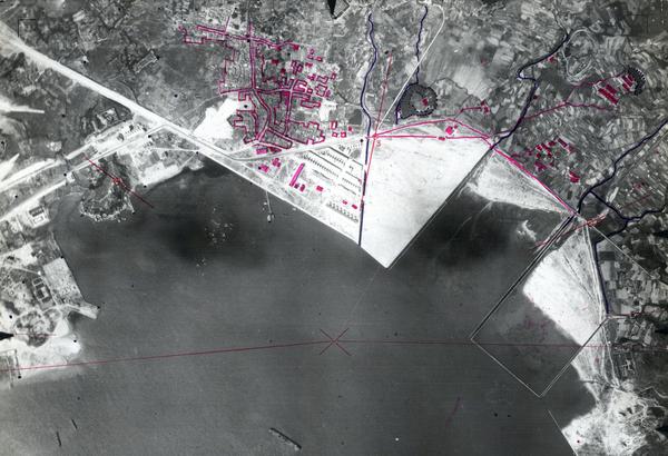
Finding aids show the geographic area covered by each photograph within a sortie. Use them to identify and order copies of photographs that have not yet been digitised and uploaded to our website.
Collection: ACIU, Sortie: HAA/059 (1 July 1940)