
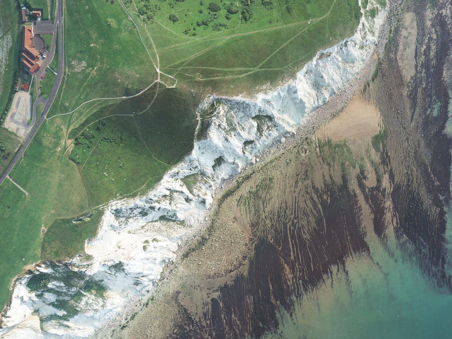
Collection: AIRBUS, Sortie: GEONEX/0083/89, Frame: 0110 (26 November 1989)
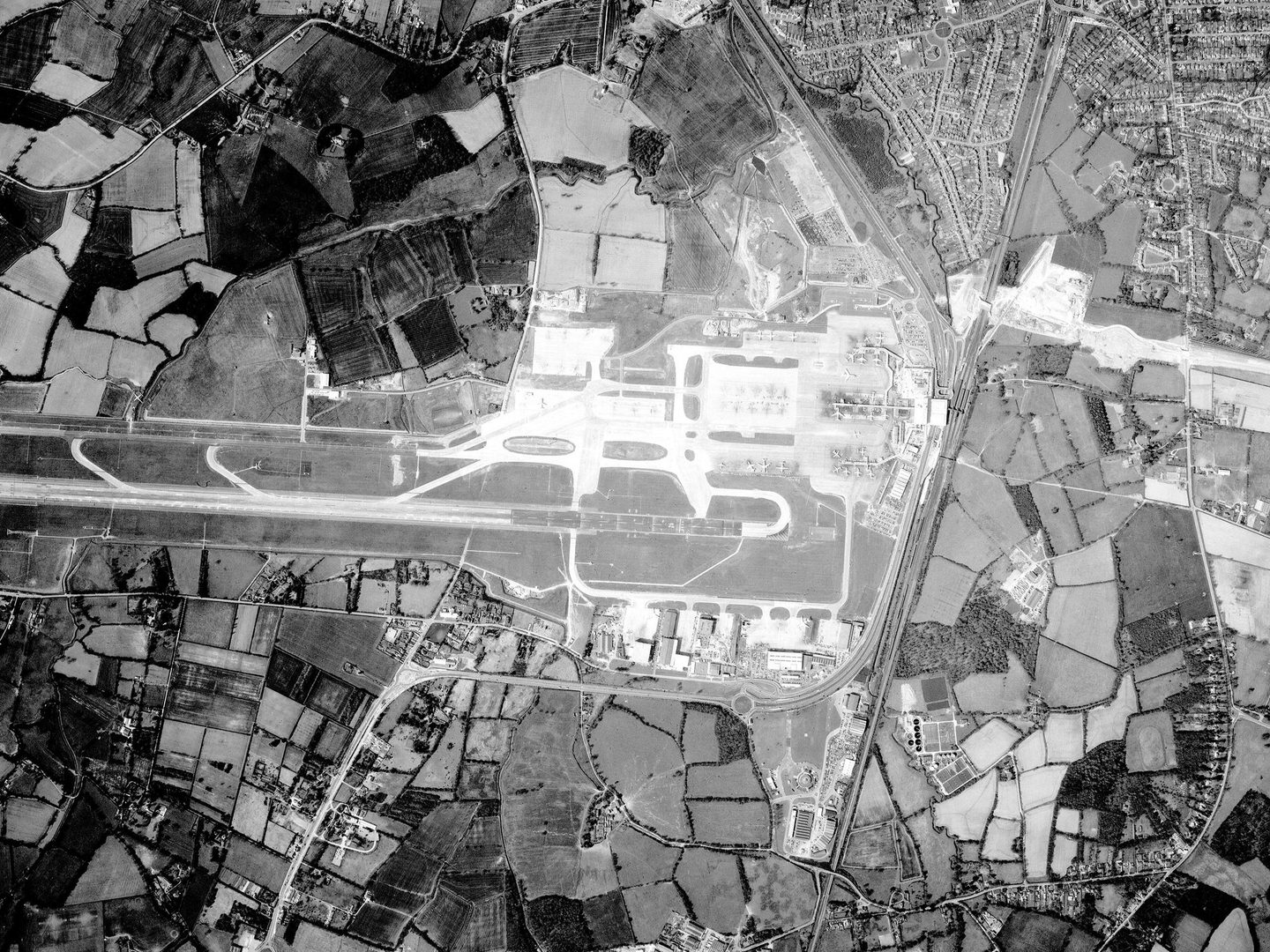
A Geonex photo of the All England Lawn Tennis & Croquet Club, home of Wimbledon
Collection: AIRBUS, Sortie: GEONEX/0083/89, Frame: 0110 (26 November 1989)
British Aerial Survey Firms
The British Aerial Survey Firms grouping contains photographs from a range of collections, all taken by some of the numerous British aerial survey companies flying during the second half of the twentieth century and into the twenty-first. Significant collections within this grouping include Simmons Aerofilms, AIRBUS Defence & Space, BKS Surveys and Cartographical Surveys. Alongside these are smaller collections from 3Di International, Bluesky International and Mason Land Surveys as well as surveys commissioned by the Isle of Man Government and Oxfordshire County Council.

History
In the aftermath of the Second World War, extensive rebuilding and development projects throughout Europe helped drive a boom in aerial surveying. This was further encouraged by increased demand for oil and other minerals, while waning colonial powers sought to map their overseas empires and Cold War participants surveyed important international territories. At the same time, a wide range of surplus military aircraft became available to civilian aerial survey operators, providing the means for extensive aerial surveying to take place.
Aerial surveying continued to thrive throughout the second half of the twentieth century. As a result, the United Kingdom was home to many significant aerial survey firms, working all around the world on government and private contracts. These firms frequently changed names and were acquired by other companies, leading to the build-up of large archives of aerial photography.
Although satellite imagery started to become available in the 1960s, aerial photography remained and remains a popular way of conducting surveys. Particularly important in this grouping is the Simmons Aerofilms Collection. Formed in 2001 from the merger of Simmons Mapping and Aerofilms Limited, this Collection also includes holdings from significant survey firms such as Hunting Surveys, Fairey Surveys and Clyde Surveys.
Other firms well represented throughout the British Aerial Survey Firms grouping are J A Story, Geonex, BKS Surveys, Cartographical Surveys and Astral Aerial Surveys. Also included are the holdings of the National Remote Sensing Centre, founded in 1980 as a government centre of excellence for earth observation.

Acquisition
The various collections in British Aerial Survey Firm grouping were acquired by the National Collection of Aerial Photography (NCAP) from 2013-2023. As survey firms changed hands, went out of business, or went digital, their (often substantial) holdings of historic analogue aerial photography became surplus to requirements. NCAP has been delighted to be able to acquire these collections, preserving them, making them accessible and setting them in the context of the wider National Collection.
Scope
The photographs in the British Aerial Survey Firms grouping were taken from 1961-2009. They cover large areas of the globe including North America, Africa, and the Middle East. Within Europe, there is a particular focus on the United Kingdom, Ireland, and the Isle of Man.
| Geographical coverage | ||
|---|---|---|
| Anguilla | Greece | Philippines |
| Australia | Guernsey | Portugal |
| Austria | Guinea-Bissau | Qatar |
| Bahamas | Hong Kong | Saint Lucia |
| Bahrain | Iceland | Saudi Arabia |
| Barbados | Indonesia | Scotland |
| Belgium | Iran | Sierra Leone |
| Bermuda | Ireland | Somalia |
| British Virgin Islands | Isle of Man | South Africa |
| Brunei | Jersey | Spain |
| Cambodia | Kenya | Sri Lanka |
| Cayman Islands | Kuwait | Sudan |
| Curacao | Libya | Tanzania |
| Cyprus | Malawi | Tobago |
| Czech Republic | Malta | Turks and Caicos Islands |
| Denmark | Mauritius | Uganda |
| Egypt | Montserrat | United Arab Emirates |
| England | Nepal | USA |
| Ethiopia | Netherlands | Virgin Islands |
| Falkland Islands | Nicaragua | Wales |
| France | Nigeria | Yemen |
| Germany | Northern Ireland | Zambia |
| Ghana | Oman | |
collection Contents
Together, these collections are made up of nearly 2.8 million images on aerial photographic film:
- c.2 million from Simmons Aerofilms
- c.337,000 from AIRBUS Defence & Space
- c.270,000 from BKS Surveys
- c.83,000 from Cartographical Surveys
- c.24,000 from Mason Land Surveys
- c.24,000 from 3Di International
- c.20,000 from Bluesky International
- c.13,500 from the Isle of Man
- c.1,500 from Astral Aerial Surveys
Air Photo Finder
Some of these Collections have been digitised and are available to view on the Air Photo Finder.
Subscriptions
Subscribe to NCAP to view zoomable images and finding aids.
ArchivesSpace
Some of these Collections are accessible via our Paid Image Search and Search Room services. Visit ArchivesSpace to learn about the Collection hierarchies.
Air Photo Finder Subscriptions
ArchivesSpace: 3Di - external ArchivesSpace: AIRBUS - external
ArchivesSpace: Astral - external ArchivesSpace: BKS - external
ArchivesSpace: Bluesky - external ArchivesSpace: Cartographical - external
ArchivesSpace: Isle of Man - external ArchivesSpace: Mason - external
IN THIS SECTION

Allied Central Interpretation Unit
The ACIU Collection is home to 5.5 million photographic reconnaissance images taken during the Second World War, providing a visual record of occupied Western Europe.
Defence Geographic Centre
The DGC Collection contains aerial photographs of locations around the world, originally used to create maps for issue to British and Commonwealth forces.

Directorate of Overseas Surveys
The DOS Collection provides a unique historical perspective, recording the changing landscapes of much of the Commonwealth throughout the 20th century.

Environment Agency
The EA Collection is a valuable record of the quickly changing coastal landscapes of the south-east of England, from Bournemouth round to Gravesend.
German Air Force
The GX Collection contains photos taken by the Luftwaffe during the Second World War, which were then used for intelligence purposes during the Cold War.

Joint Air Reconnaissance Intelligence Centre
The JARIC Collection holds millions of Cold War reconnaissance images and forms unique record of British interests and activities.

Mediterranean Allied Photo Reconnaissance Wing
The MAPRW Collection contains c.150,000 aerial photographs taken during WWII by Allied units operating from North Africa and Italy.

Millennium Mapping
NCAP is home to the Getmapping and UK Perspectives Collections, two parallel projects to create a visual record of the UK at the turn of the millennium.

National Archives and Records Administration
The NARA Collection contains worldwide imagery digitised as part of a partnership with the United States National Archives and Records Administration.

Natural Environment Research Council
The NERC Collection contains over 27,300 aerial photographs taken around Europe for research purposes on behalf of the British Geological Survey.

Scottish Office Air Photographs Unit
The Scottish Office APU Collection provides a remarkable, 100-year record of Scotland’s changing landscapes from 1.5 million aerial photos of Scotland.