
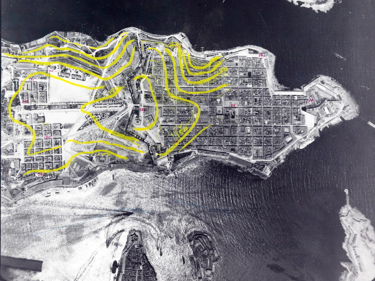
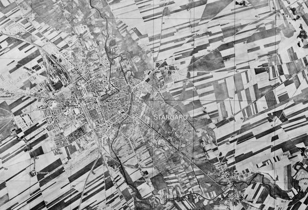
Collection: DGC, Sortie: PEGASUS/RN/H/0026, Frame: 0026 (14 November 1924)
This photograph of Kowloon Bay in Hong Kong is among the earliest at NCAP
Collection: DGC, Sortie: PEGASUS/RN/H/0026, Frame: 0026 (14 November 1924)
Defence Geographic Centre
The Defence Geographic Centre (DGC) Collection contains aerial photographs of locations around the world, dating from 1924-1949. The photography was taken by the Royal Air Force (RAF) and Royal Navy (RN) for government bodies now known as the DGC. These photographs were used to provide a baseline for the creation of maps for issue to British and Commonwealth forces.
History
The DGC can trace its history back to 1803 and the establishment of the Depot of Military Knowledge within the British army. The Depot of Military Knowledge included a Topographical Branch which had responsibility for military mapping.
Over the next 100 years, the name and structure of the body responsible for military mapping changed frequently, until in 1908 it became the Geographical Section, General Staff (GSGS) as part of the Directorate of Military Operations. In 1943, the name changed again to the Directorate of Military Survey. All the DGC imagery in the National Collection of Aerial Photography (NCAP) was taken for either GSGS or the Directorate of Military Survey.
Further changes took place throughout the second half of the twentieth century, until the DGC was officially formed in 2000 as a subordinate unit of the Defence Geographical and Imagery-Intelligence Agency. Today, the DGC provides geographic information to UK defence and government departments, as well as international partners.
It delivers this through mapping, aeronautical charts, geo-referenced aerial imagery, and digital data. Perhaps surprisingly, demand for conventional paper maps and charts continues alongside the significant growth in the demand for digital data.
Acquisition
Since 2017, the DGC has transferred regular batches of historical aerial photography to the care of NCAP for preservation, digitisation, and cataloguing.
Scope
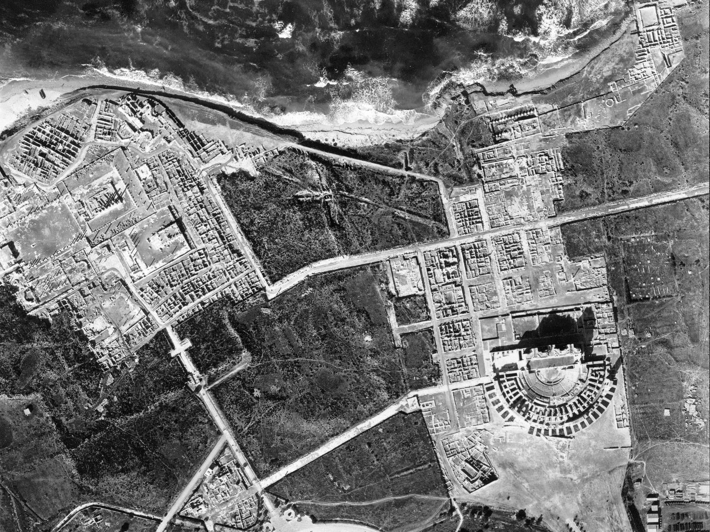
The DGC Collection covers a range of countries around the world, from 1924 to 1949. Particularly notable are images of Hong Kong (1924) and Malta (1926), which are the earliest images in the NCAP Collection. Other areas included are north Africa (Egypt and Libya), east Africa (Kenya, Ethiopia, and Somalia), the Middle East (Iraq, Iran, and Saudi Arabia) and central Europe (Hungary, Austria, and Northern Italy).
| Geographical coverage | ||
|---|---|---|
| Austria | Iran | Malta |
| Azerbaijan | Iraq | Nigeria |
| Egypt | Italy | Saudi Arabia |
| France | Jordan | Scotland |
| Hong Kong | Kenya | Somalia |
| Hungary | Libya | Yemen |
| Iceland | Malaysia | Former Yugoslavia |
Collection Contents
The Collection is made up of:
- c.45,000 predominately print aerial photographs, with a small number of film transparencies and glass plate negatives
Air Photo Finder
A small amount of this Collection has been digitised and is available to view on the Air Photo Finder.
Uncatalogued imagery is only accessible with knowledge of exact sortie references.
Subscriptions
Subscribe to NCAP to view zoomable images and finding aids.
ArchivesSpace
Visit ArchivesSpace to learn about the Collection hierarchy.
IN THIS SECTION

Allied Central Interpretation Unit
The ACIU Collection is home to 5.5 million photographic reconnaissance images taken during the Second World War, providing a visual record of occupied Western Europe.
British Aerial Survey Firms
NCAP has extensive holdings of photography taken by several important British aerial survey companies over a period of 50 years.

Directorate of Overseas Surveys
The DOS Collection provides a unique historical perspective, recording the changing landscapes of much of the Commonwealth throughout the 20th century.

Environment Agency
The EA Collection is a valuable record of the quickly changing coastal landscapes of the south-east of England, from Bournemouth round to Gravesend.
German Air Force
The GX Collection contains photos taken by the Luftwaffe during the Second World War, which were then used for intelligence purposes during the Cold War.

Joint Air Reconnaissance Intelligence Centre
The JARIC Collection holds millions of Cold War reconnaissance images and forms unique record of British interests and activities.

Mediterranean Allied Photo Reconnaissance Wing
The MAPRW Collection contains c.150,000 aerial photographs taken during WWII by Allied units operating from North Africa and Italy.

Millennium Mapping
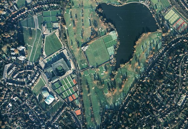
NCAP is home to the Getmapping and UK Perspectives Collections, two parallel projects to create a visual record of the UK at the turn of the millennium.

National Archives and Records Administration
The NARA Collection contains worldwide imagery digitised as part of a partnership with the United States National Archives and Records Administration.

Natural Environment Research Council
The NERC Collection contains over 27,300 aerial photographs taken around Europe for research purposes on behalf of the British Geological Survey.

Scottish Office Air Photographs Unit
The Scottish Office APU Collection provides a remarkable, 100-year record of Scotland’s changing landscapes from 1.5 million aerial photos of Scotland.