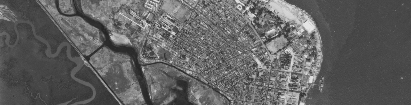
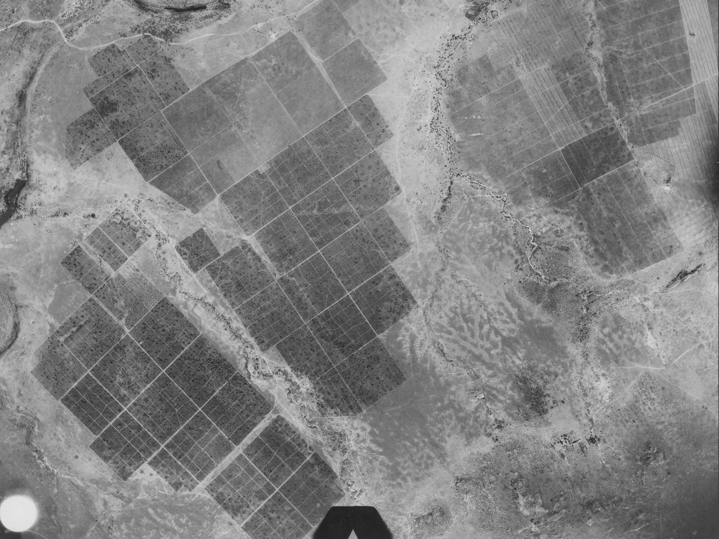
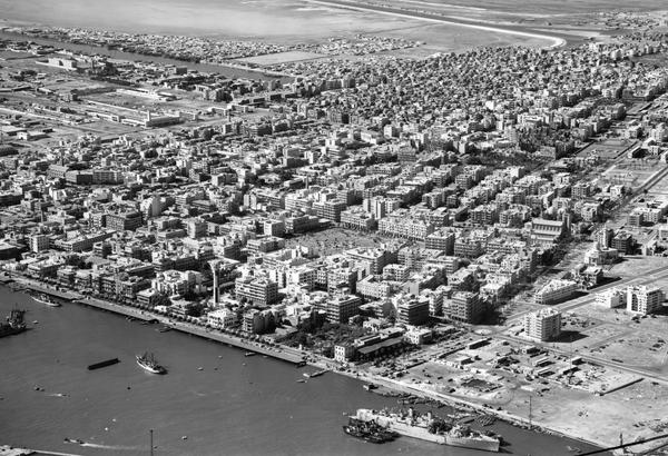
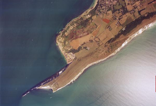
Collection: DOS, Sortie: 124/GA/0024, Frame: 0002 (03 February 1972)
Banjul, capital of The Gambia
Collection: DOS, Sortie: 124/GA/0024, Frame: 0002 (03 February 1972)
Directorate of Overseas Surveys
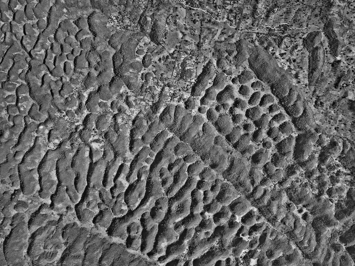
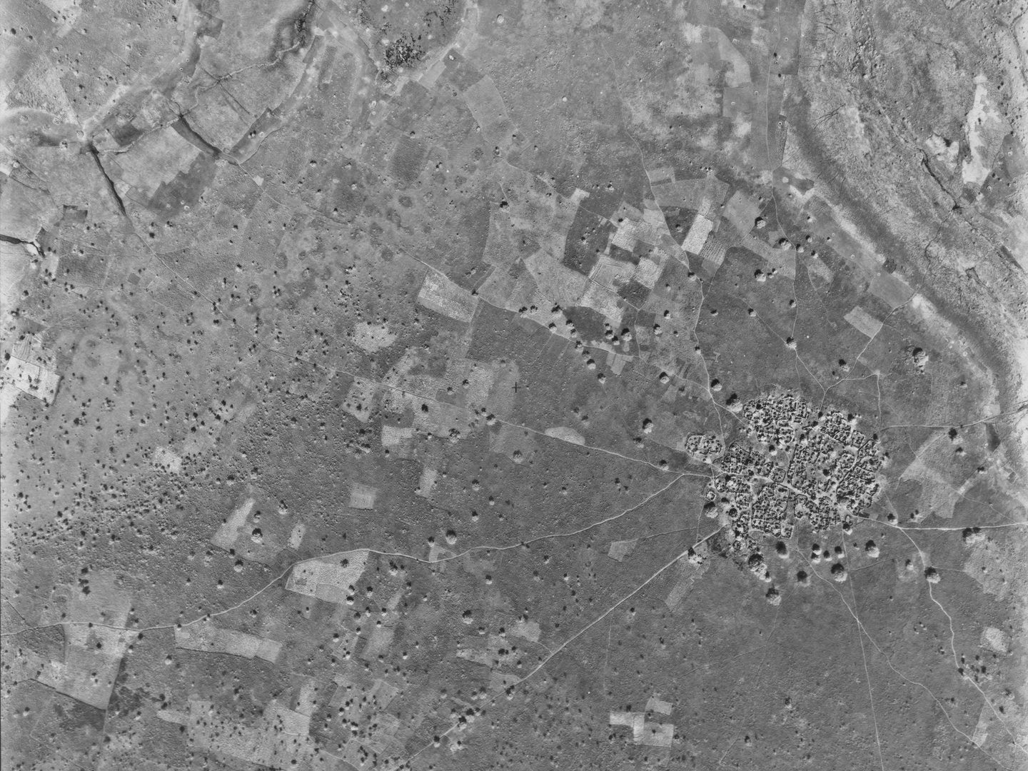
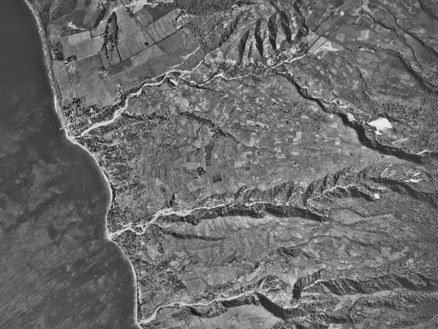
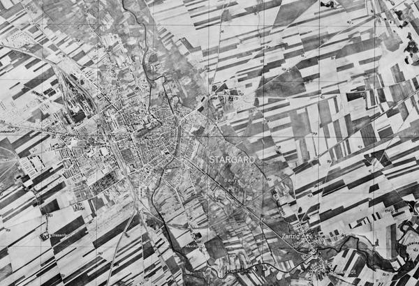
The Directorate of Overseas Surveys (DOS) Collection of aerial photography covers large parts of Africa, East Asia, and the islands of the Caribbean Sea, Atlantic and Pacific Oceans. The 3D aerial photography in the DOS Collection provides a unique historical perspective, recording the changing urban and rural landscapes of large parts of the Commonwealth (and beyond) throughout the second half of the twentieth century.
History
The Directorate of Colonial Surveys (DCS) was established by the Colonial Office in 1946 with responsibility for mapping those parts of the British Empire which had no survey capability of their own. As decolonisation gathered pace through the twentieth century, in 1957 the DCS was renamed the Directorate of Overseas Surveys.
The Directorate was charged with two key tasks. It was to provide national geodetic frameworks throughout the British Empire that would contribute to understanding the size and shape of the earth and constitute the basis for accurate mapping. It would also produce mapping using modern methods, based on aerial photography. This would in turn help to inform the development and administration of each country.
To begin with, the remit of the DOS was British colonies. However, as these colonies moved to independence, the Directorate’s scope was expanded to include countries within and outwith the Commonwealth, which meant the Directorate's surveyors ultimately surveyed 55 countries around the world. To start with, photography was largely taken by Royal Air Force (RAF) photographic reconnaissance squadrons. However, from 1953 the DOS predominantly issued contracts to commercial aerial survey firms.
After merging into the Ordnance Survey in 1984, the organisation became known as the Overseas Surveys Directorate. In 1991, following completion of the last significant aid-funded mapping projects, its name changed one last time, to Ordnance Survey International, and its main activity became consultancy, primarily in eastern Europe. Ordnance Survey International ceased operations in 2001.
Between 2021 and 2023, the DOS Collection became the first collection at the National Collection of Aerial Photography (NCAP) to be digitised using an innovative automated process involving customised collaborative robots.
Acquisition
The photographs and other records were held by DOS from their creation until its merger with Ordnance Survey in 1984. Following a review by the Ordnance Survey in 2002, responsibility for the Collection passed to The National Archives. The following year the Collection – comprising of the 1st Print Library, definitive finding aids and air photo mosaic collection – was transferred to the British Empire and Commonwealth Museum, Bristol. The Collection was officially deposited with NCAP in 2012.
Scope
Although the Directorate’s primary focus was ex-British colonies and Commonwealth countries, the Collection is not exclusively a record of the British Empire. Among the 55 surveyed countries from 1946 to 2001 are nations in Australasia and East Asia, the Indian Subcontinent, the Middle East, Africa, the Caribbean, South America, the British Antarctic Territory, and islands in the Pacific, Atlantic and Indian Oceans and the Mediterranean Sea.
| Geographical coverage | ||
|---|---|---|
| Algeria | Gibraltar | Saint Kitts and Nevis |
| Anguilla | Grenada | Saint Lucia |
| Antigua & Barbuda | Guyana | Saint Vincent and the Grenadines |
| Argentina | Hong Kong | Senegal |
| Bahamas | Indonesia | Seychelles |
| Barbados | Iran | Sierra Leone |
| Belize | Jamaica | Singapore |
| Bermuda | Jarvis Island | Solomon Islands |
| Botswana | Kenya | Somalia |
| British Antarctic Territory | Kiribati | South Georgia and the South Sandwich Islands |
| British Virgin Islands | Lesotho | South Sudan |
| Brunei | Liberia | Sudan |
| Cameroon | Malawi | Suriname |
| Cayman Islands | Malaysia | Tanzania |
| Chile | Maldives | Togo |
| Christmas Island | Malta | Tonga |
| Cook Islands | Mauritius | Trinidad and Tobago |
| Costa Rica | Montserrat | Turks and Caicos Islands |
| Cyprus | Morocco | Tuvalu |
| Dominica | Nepal | Uganda |
| Eswatini | Nigeria | US Virgin Islands |
| Ethiopia | Oman | Vanuatu |
| Falkand Islands | Philippines | Yemen |
| Fiji | Pitcairn Islands | Zambia |
| The Gambia | Prince Edward Islands | Zimbabwe |
| Ghana | Saint Helena, Ascension and Tristan da Cunha | |
Contents
The Collection is made up of:
- 1.7 million aerial photographic prints
- associated sortie plots, cover traces, card indexes, base maps, contracts, calibration certificates and photo mosaics
Air Photo Finder
The entirety of this collection has been digitised and is scheduled for release on the Air Photo Finder.
Subscriptions
Subscribe to NCAP to view zoomable images and finding aids.
ArchivesSpace
Visit ArchivesSpace to learn about the Collection hierarchy.
Related reading
IN THIS SECTION

Allied Central Interpretation Unit
The ACIU Collection is home to 5.5 million photographic reconnaissance images taken during the Second World War, providing a visual record of occupied Western Europe.
British Aerial Survey Firms
NCAP has extensive holdings of photography taken by several important British aerial survey companies over a period of 50 years.
Defence Geographic Centre
The DGC Collection contains aerial photographs of locations around the world, originally used to create maps for issue to British and Commonwealth forces.
Environment Agency
The EA Collection is a valuable record of the quickly changing coastal landscapes of the south-east of England, from Bournemouth round to Gravesend.
German Air Force
The GX Collection contains photos taken by the Luftwaffe during the Second World War, which were then used for intelligence purposes during the Cold War.
Joint Air Reconnaissance Intelligence Centre
The JARIC Collection holds millions of Cold War reconnaissance images and forms unique record of British interests and activities.
Mediterranean Allied Photo Reconnaissance Wing
The MAPRW Collection contains c.150,000 aerial photographs taken during WWII by Allied units operating from North Africa and Italy.
Millennium Mapping
NCAP is home to the Getmapping and UK Perspectives Collections, two parallel projects to create a visual record of the UK at the turn of the millennium.

National Archives and Records Administration
The NARA Collection contains worldwide imagery digitised as part of a partnership with the United States National Archives and Records Administration.
Natural Environment Research Council
The NERC Collection contains over 27,300 aerial photographs taken around Europe for research purposes on behalf of the British Geological Survey.
Scottish Office Air Photographs Unit
The Scottish Office APU Collection provides a remarkable, 100-year record of Scotland’s changing landscapes from 1.5 million aerial photos of Scotland.