
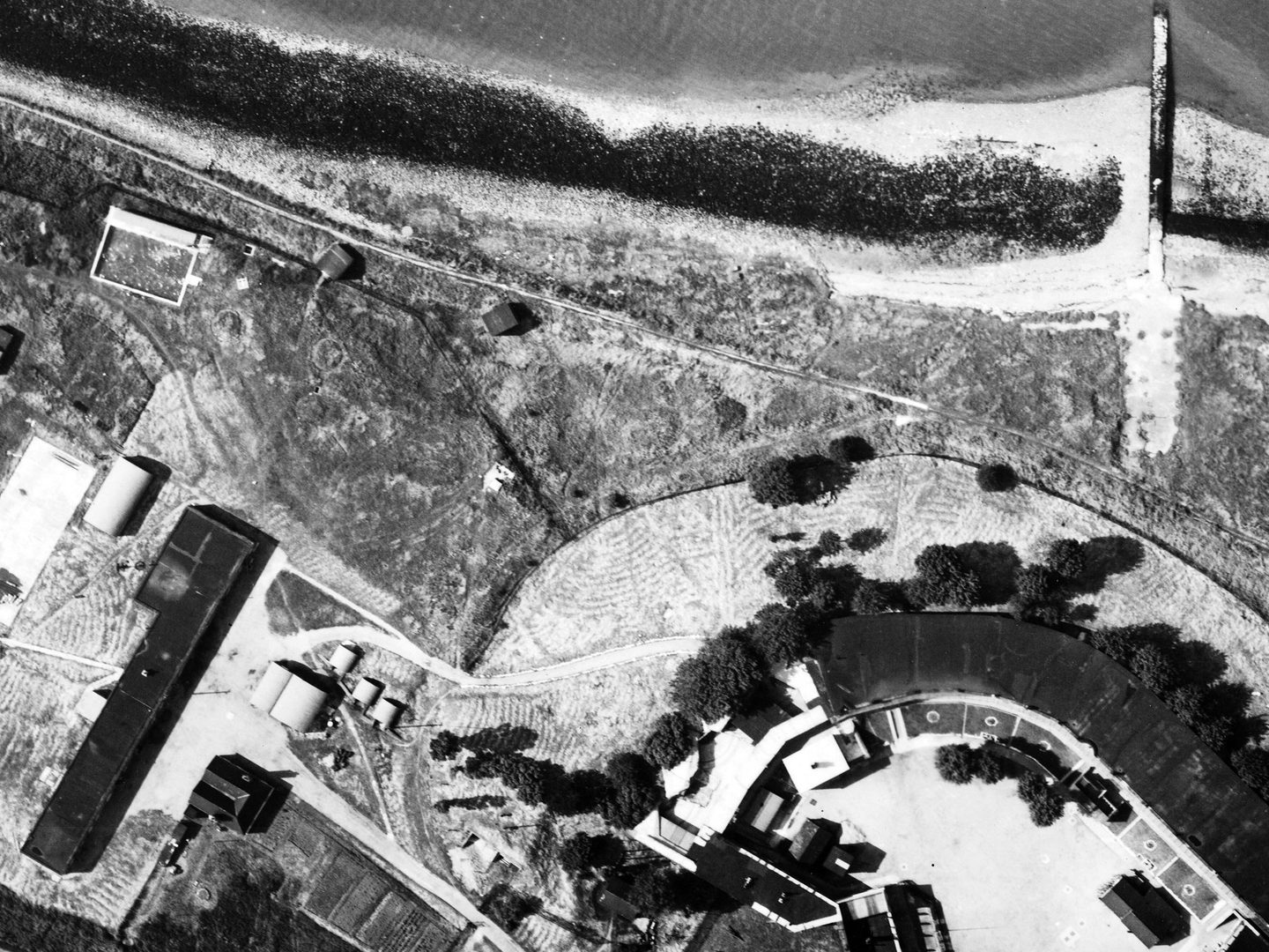
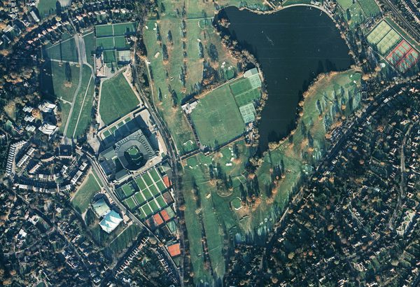
Collection: Environment Agency, Sortie: MAL/0010/82, Frame: 0256 (26 May 1982)
The internationally important wetland site of Pagham Harbour, West Sussex
Collection: Environment Agency, Sortie: MAL/0010/82, Frame: 0256 (26 May 1982)
Environment Agency
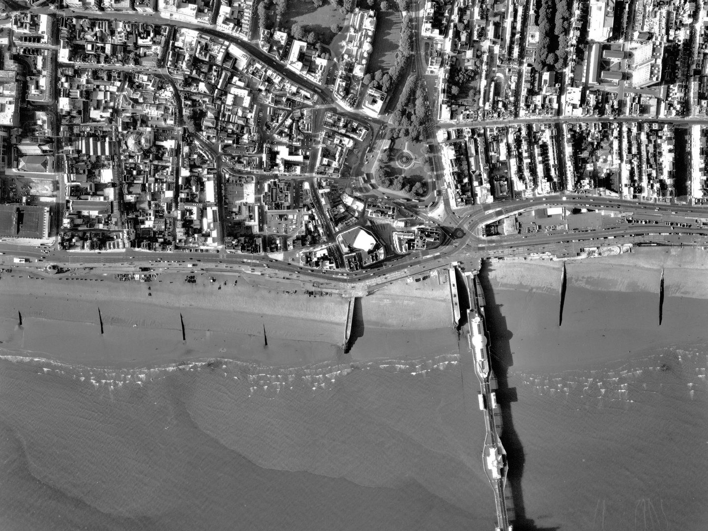
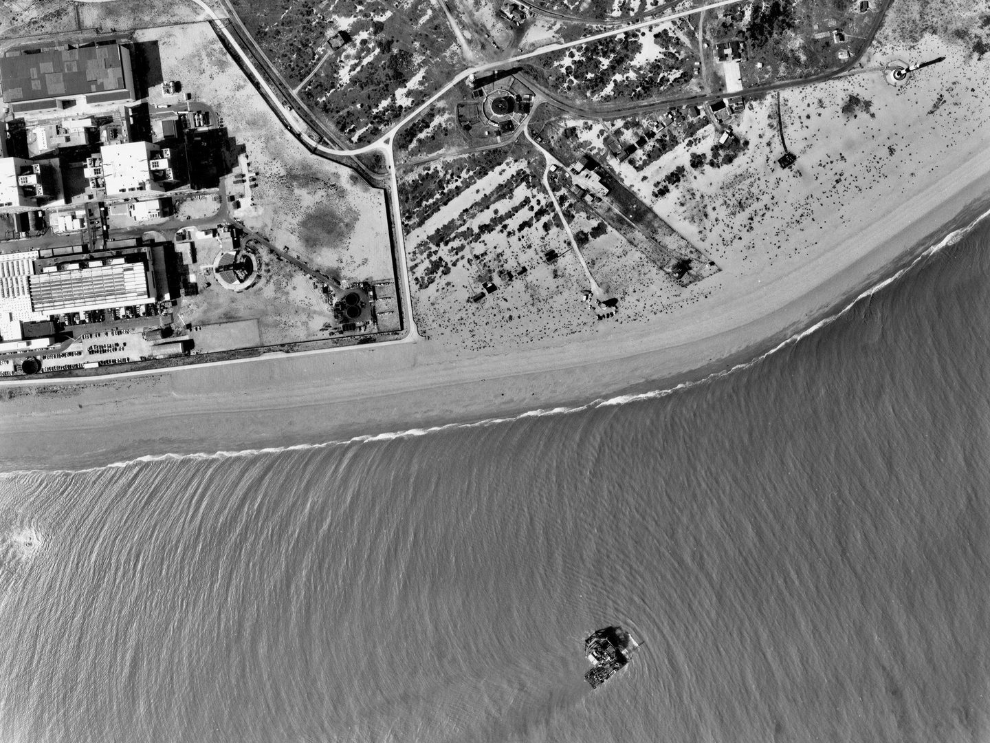
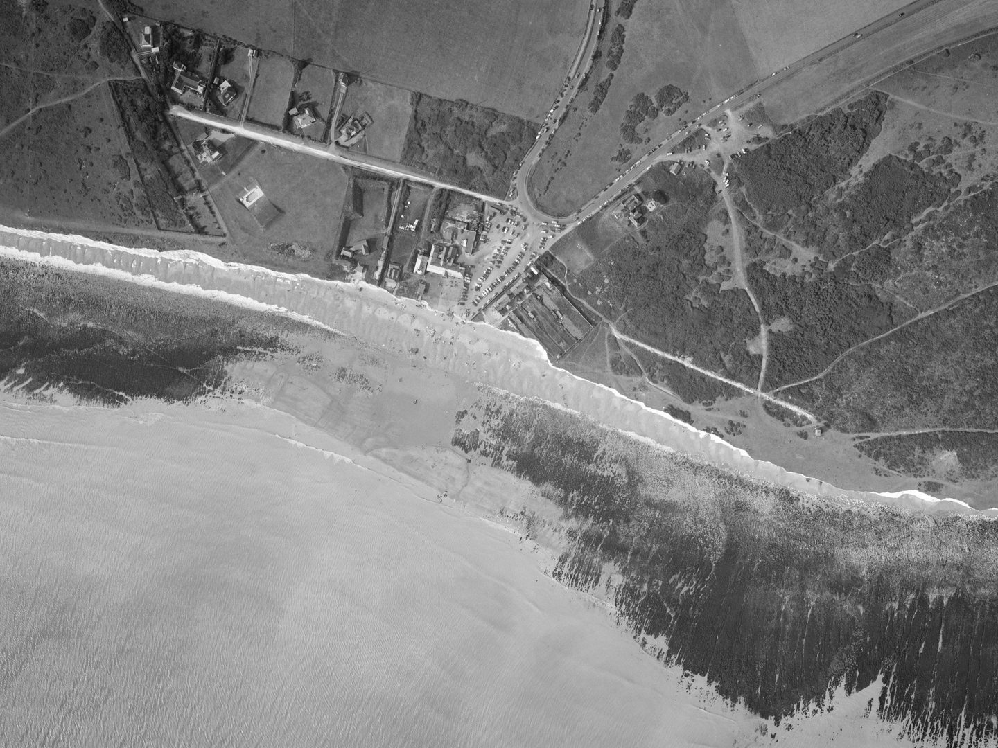
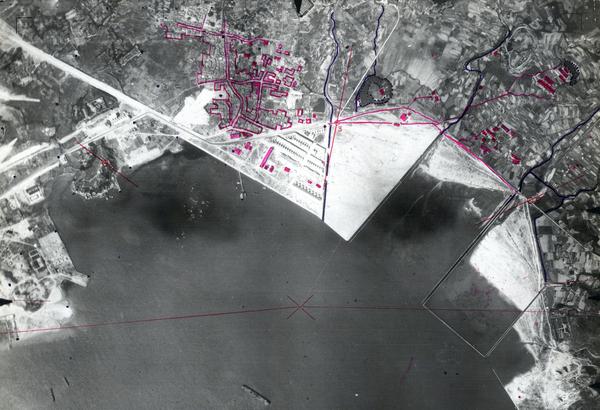
The Environment Agency (EA) Collection contains aerial photography of coastal locations across south-east England. The EA regularly commissions aerial surveys to support its work. The EA Collection at the National Collection of Aerial Photography (NCAP) focusses specifically on coastal areas, and as such is a valuable record of quickly changing areas over time.
History
Prior to the Water Act of 1973, water management throughout England and Wales was carried out in a highly localised manner. From 1973, numerous smaller water authorities were grouped into 10 regional bodies. Southern Water was responsible for an area from the Thames Estuary around to the Isle of Wight.
When the major water authorities were privatised in 1989, responsibility for regulating the aquatic environment passed to the National Rivers Authority (NRA), which was subsumed into the Environment Agency in 1996.
Aerial survey photography has been vital to all these bodies to support their work. Southern Water, the NRA and the Environment Agency all commissioned or acquired numerous aerial photographs for the purposes of monitoring and analysis.
Today, the Environment Agency is responsible for regulating industry and waste, water quality, fisheries, navigation, conservation and ecology. It also has responsibility for managing major flood risk from main rivers, reservoirs and the sea.
Acquisition
The Collection was owned by the Environment Agency from its creation by the contracted survey firms. Following analysis and exploitation of the imagery, its holdings of analogue aerial photographic film covering south-east England were transferred to the care and management of NCAP in 2016.
Scope
The photographs in the Environment Agency Collection cover coastal areas in Kent, East Sussex, West Sussex, Hampshire, and Dorset, as well as the Isle of Wight. While the photos range in date from 1939 to 2005, the bulk of them were taken from 1971-84 and 1989-98, with a smaller amount dating to the 1950s and 1960s.
| Geographical coverage | |
|---|---|
| England | |
Collection contents
The Collection is made up of:
- c.4400 monochrome diapositives
- c.1000 colour diapositives
- c.3050 monochrome contact prints
Air Photo Finder
This Collection has been digitised and is available to view on the Air Photo Finder.
Subscriptions
Subscribe to NCAP to view zoomable images and finding aids.
ArchivesSpace
Visit ArchivesSpace to learn about the Collection hierarchy.
IN THIS SECTION

Allied Central Interpretation Unit
The ACIU Collection is home to 5.5 million photographic reconnaissance images taken during the Second World War, providing a visual record of occupied Western Europe.
British Aerial Survey Firms
NCAP has extensive holdings of photography taken by several important British aerial survey companies over a period of 50 years.
Defence Geographic Centre
The DGC Collection contains aerial photographs of locations around the world, originally used to create maps for issue to British and Commonwealth forces.

Directorate of Overseas Surveys
The DOS Collection provides a unique historical perspective, recording the changing landscapes of much of the Commonwealth throughout the 20th century.
German Air Force
The GX Collection contains photos taken by the Luftwaffe during the Second World War, which were then used for intelligence purposes during the Cold War.

Joint Air Reconnaissance Intelligence Centre
The JARIC Collection holds millions of Cold War reconnaissance images and forms unique record of British interests and activities.

Mediterranean Allied Photo Reconnaissance Wing
The MAPRW Collection contains c.150,000 aerial photographs taken during WWII by Allied units operating from North Africa and Italy.

Millennium Mapping
NCAP is home to the Getmapping and UK Perspectives Collections, two parallel projects to create a visual record of the UK at the turn of the millennium.

National Archives and Records Administration
The NARA Collection contains worldwide imagery digitised as part of a partnership with the United States National Archives and Records Administration.

Natural Environment Research Council
The NERC Collection contains over 27,300 aerial photographs taken around Europe for research purposes on behalf of the British Geological Survey.

Scottish Office Air Photographs Unit
The Scottish Office APU Collection provides a remarkable, 100-year record of Scotland’s changing landscapes from 1.5 million aerial photos of Scotland.