
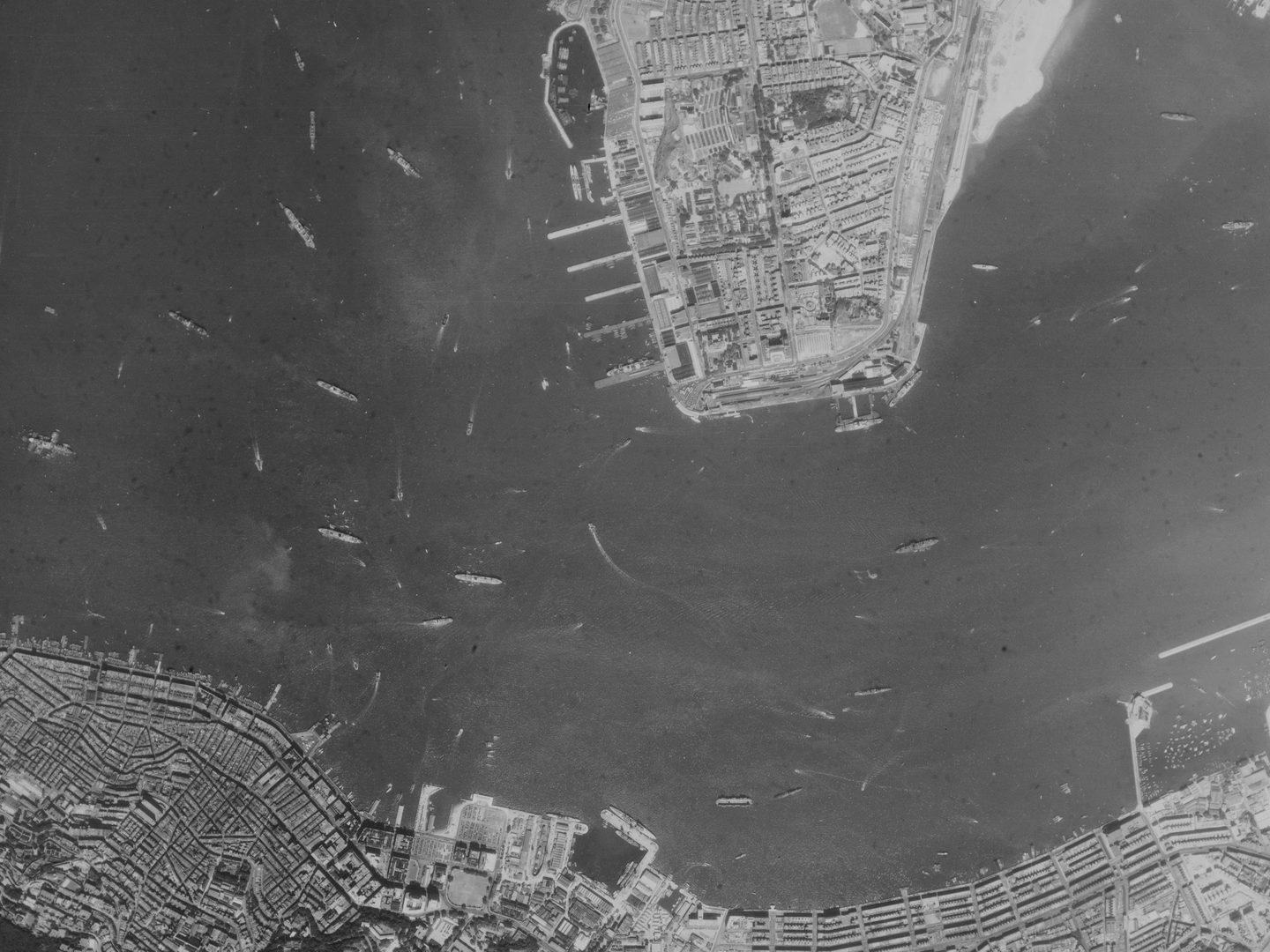
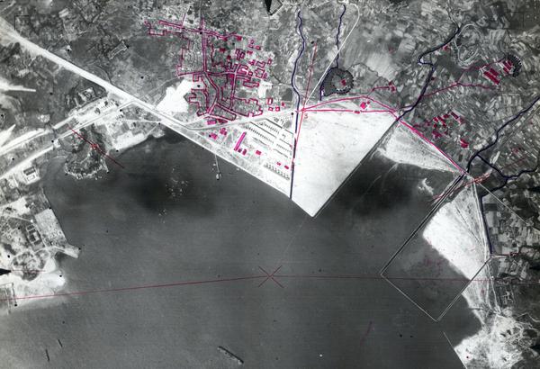
Collection: JARIC, Sortie: MON/0149, Frame: 0026 (7 November 1956)
Port Said in Egypt, photographed shortly after the conclusion of the Suez Crisis
Collection: JARIC, Sortie: MON/0149, Frame: 0026 (7 November 1956)
Joint Air Reconnaissance Intelligence Centre
The Joint Air Reconnaissance Intelligence Centre (JARIC) Collection at the National Collection of Aerial Photography (NCAP) contains millions of images from the start of the Second World War to the First Gulf War. Together, they form a visual record of the Cold War throughout the second half of the twentieth century and a unique record of British Cold War interests and activities.
History
With the departure of US personnel at the end of the Second World War, the Allied Central Interpretation Unit (ACIU) at RAF Medmenham – responsible for the interpretation of photographic reconnaissance – reverted to its original title, the Central Interpretation Unit. In 1953 it became the Joint Air Reconnaissance Intelligence Centre.
In the immediate post-war years, one of its major tasks was the plotting and analysis of captured German Air Force reconnaissance photography. What had not been destroyed, or captured by the Soviets, was discovered in several locations by the Allies and shipped back to the UK. The joint UK/US work on this imagery provided unique intelligence on the Soviet Union and Eastern Europe during the early Cold War years before the advent of satellite imagery.
Previously split across four separate locations – Medmenham, Nuneham Park, Wyton and Wembley – JARIC moved to RAF Brampton, Cambridgeshire in 1956. In 1996, the unit stopped being controlled by the RAF and became an agency within MI5. As the UK's national strategic imagery intelligence provider, it became the repository for aerial imagery of locations around the world where UK forces were in operation or where the UK had an interest.
The term ‘JARIC’ stopped being used as an acronym in 2005, and the title was formally retired in 2012. The following year, JARIC was officially disbanded, and its functions and staff were transferred to the newly formed Defence Intelligence Fusion Centre (DIFC) at RAF Wyton.
Acquisition
In 2004, the UK Ministry of Defence began to release JARIC imagery to Keele University in its capacity as an official Place of Deposit, where it joined the ACIU and German Air Force (GX) collections. At the time, government records became declassified 30 years after creation (this changed to 20 years in 2013). In 2008 the collections were transferred to the Royal Commission on the Ancient and Historical Monuments of Scotland (now Historic Environment Scotland) and became part of the new National Collection of Aerial Photography. JARIC imagery continues to be released to NCAP on a rolling programme.
Scope
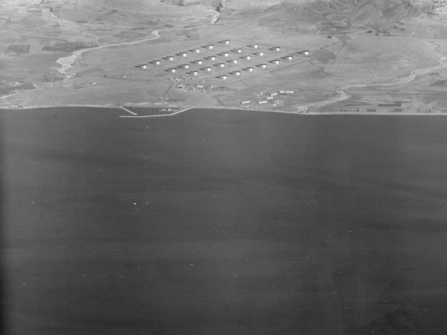
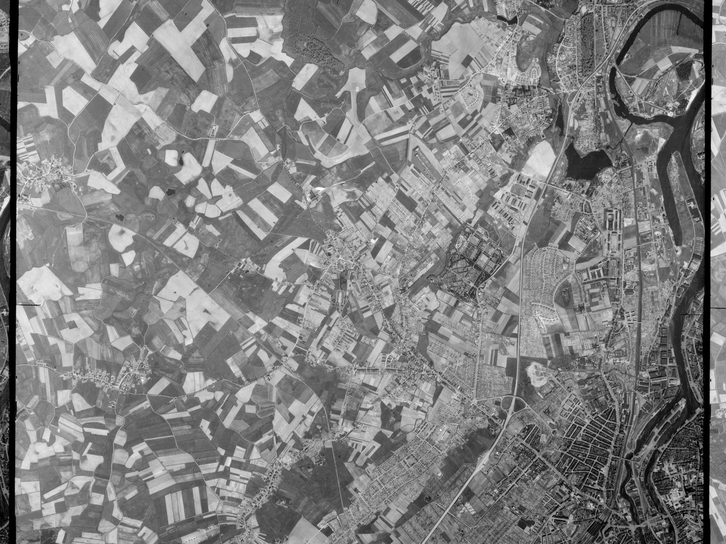
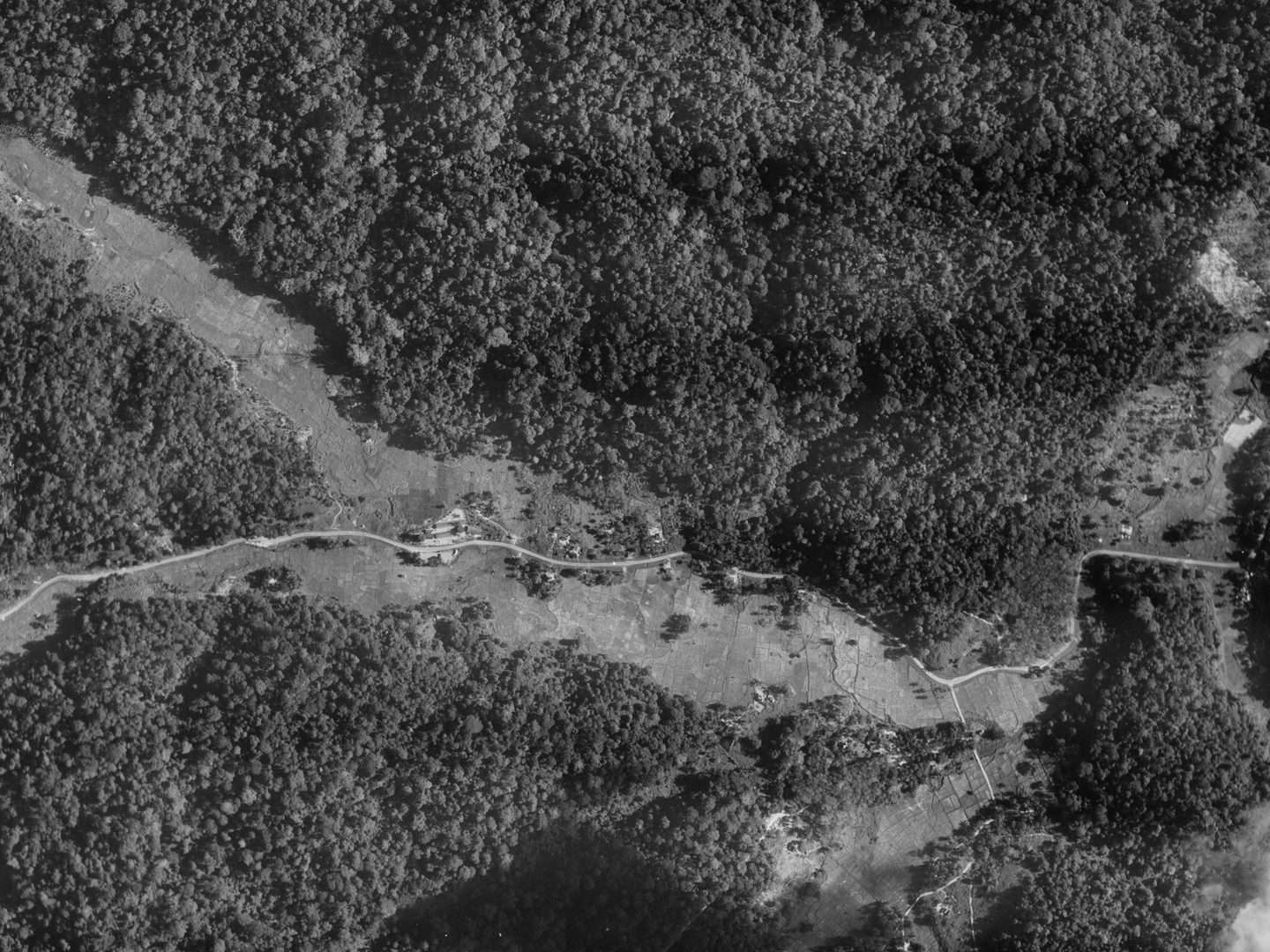
The JARIC Collection contains millions of images from around the world, dating 1938-1992 and taken by British (RAF), American (USAAF), Canadian (RCAF), Australian (RAAF), New Zealand (RNZAF) and South African (SAAF) units. The Collection covers numerous countries and territories and includes images relating to significant world events such as H-bomb and atom bomb tests, the Suez Crisis, the North Atlantic Cod Wars and Desert Storm.
| Geographical coverage | ||
|---|---|---|
| Angola | Hong Kong | Nepal |
| Anguilla | Iceland | Oman |
| Antigua & Barbuda | India | Pakistan |
| Belize | Iraq | Palestine |
| Borneo | Italy | Persia |
| Brunei | Jordan | Republic of the Congo |
| Cambodia | Kenya | Somalia |
| Christmas Island | Korea | Sudan |
| Cyprus | Kuwait | Tanzania |
| Egypt | Lebanon | Thailand |
| Ethiopia | Malaysia | Uganda |
| Faroe Islands | Mali | Zimbabwe |
| Gibraltar | Mauritius | |
| Guyana | Mozambique | |
collection contents
The Collection is made up of:
- over 15 million aerial photographs on paper and film
- c.14,000 16mm microfilm cassettes containing a copy of all surviving original imagery, associated sortie plots and millions of further unique images
Air Photo Finder
A small amount of this Collection has been digitised and is available to view on the Air Photo Finder. Uncatalogued imagery is only accessible with knowledge of exact sortie references (and can be ordered via our Scan on Demand service). NCAP does not hold finding aids for this Collection so searches for imagery of specific geographic locations are not yet possible.
IN THIS SECTION

Allied Central Interpretation Unit
The ACIU Collection is home to 5.5 million photographic reconnaissance images taken during the Second World War, providing a visual record of occupied Western Europe.
British Aerial Survey Firms
NCAP has extensive holdings of photography taken by several important British aerial survey companies over a period of 50 years.
Defence Geographic Centre
The DGC Collection contains aerial photographs of locations around the world, originally used to create maps for issue to British and Commonwealth forces.

Directorate of Overseas Surveys
The DOS Collection provides a unique historical perspective, recording the changing landscapes of much of the Commonwealth throughout the 20th century.

Environment Agency
The EA Collection is a valuable record of the quickly changing coastal landscapes of the south-east of England, from Bournemouth round to Gravesend.
German Air Force
The GX Collection contains photos taken by the Luftwaffe during the Second World War, which were then used for intelligence purposes during the Cold War.

Mediterranean Allied Photo Reconnaissance Wing
The MAPRW Collection contains c.150,000 aerial photographs taken during WWII by Allied units operating from North Africa and Italy.

Millennium Mapping
NCAP is home to the Getmapping and UK Perspectives Collections, two parallel projects to create a visual record of the UK at the turn of the millennium.

National Archives and Records Administration
The NARA Collection contains worldwide imagery digitised as part of a partnership with the United States National Archives and Records Administration.

Natural Environment Research Council
The NERC Collection contains over 27,300 aerial photographs taken around Europe for research purposes on behalf of the British Geological Survey.

Scottish Office Air Photographs Unit
The Scottish Office APU Collection provides a remarkable, 100-year record of Scotland’s changing landscapes from 1.5 million aerial photos of Scotland.