
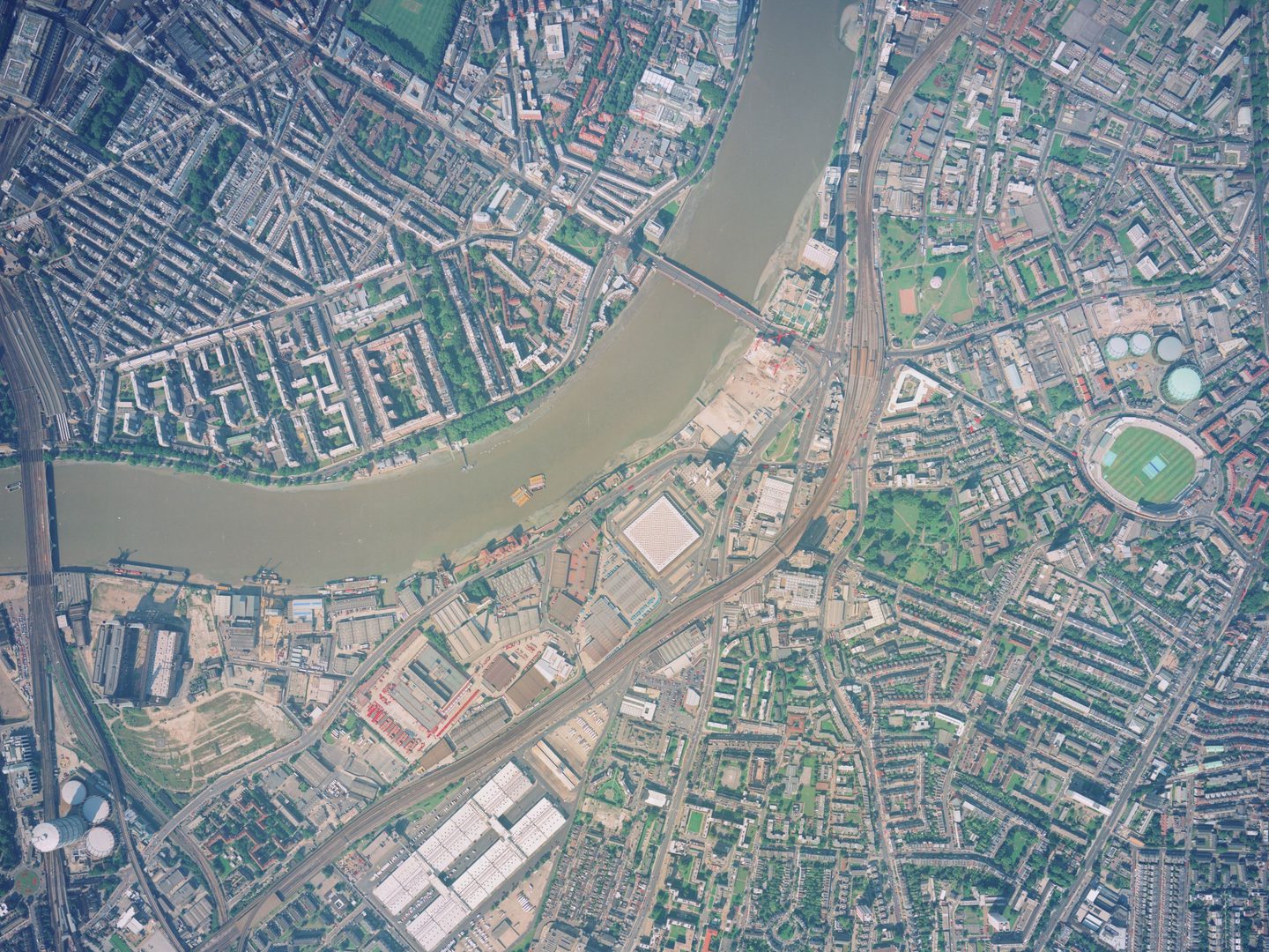
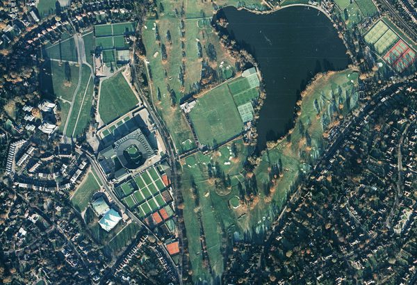
Collection: Getmapping, Sortie: MMC/0106, Frame: 0081 (04 September 1999)
The London Eye under construction, Big Ben and Buckingham Palace
Collection: Getmapping, Sortie: MMC/0106, Frame: 0081 (04 September 1999)
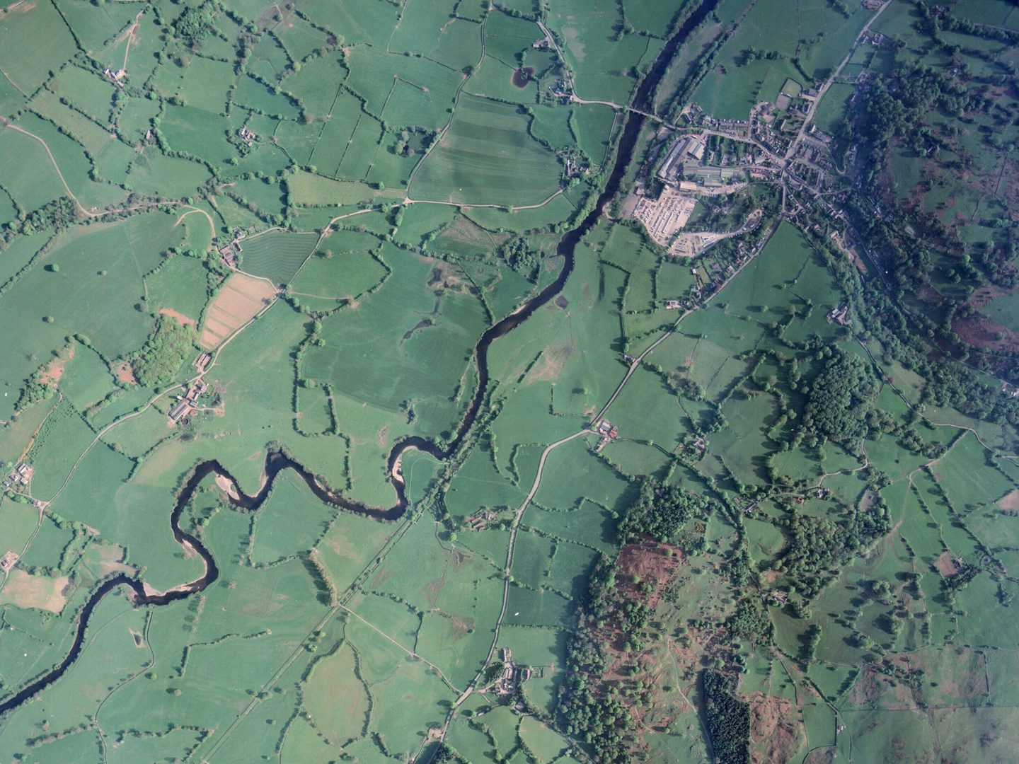
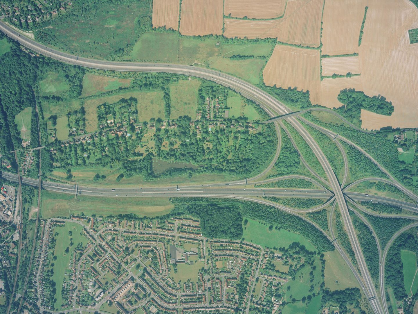
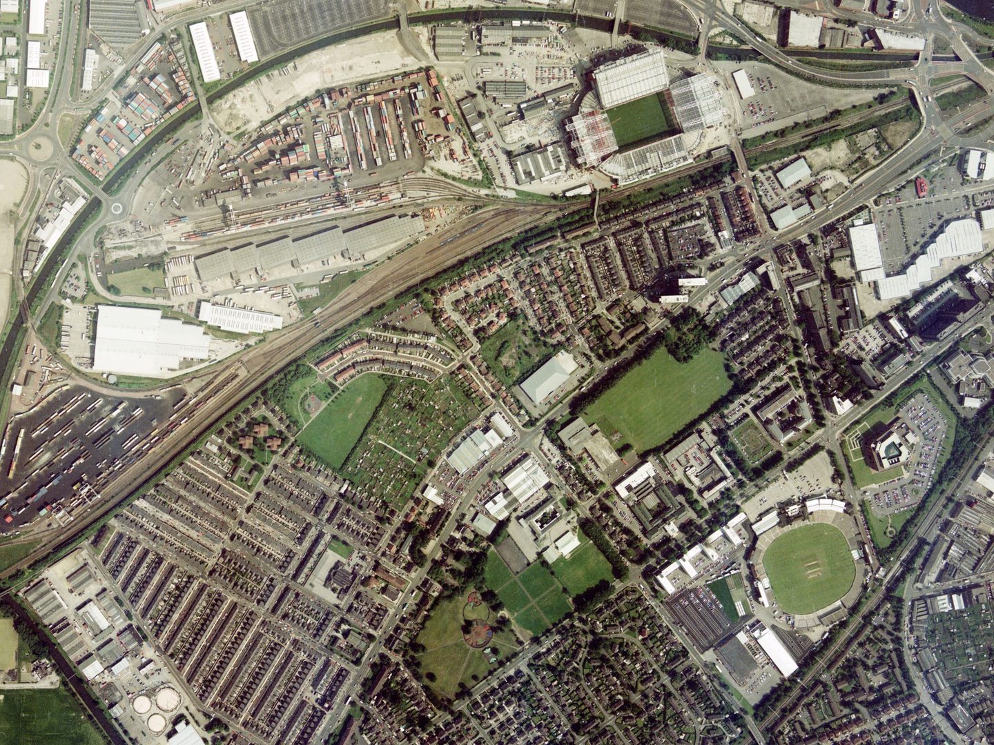
Millennium Mapping
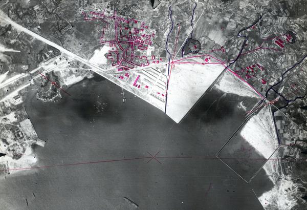
Millennium Mapping refers to the individual Getmapping Collection and UK Perspectives Collection held by the National Collection of Aerial Photography (NCAP). In 1998, these two parallel and competing projects began to photograph the United Kingdom to create a visual record of the country at the turn of the millennium.
History
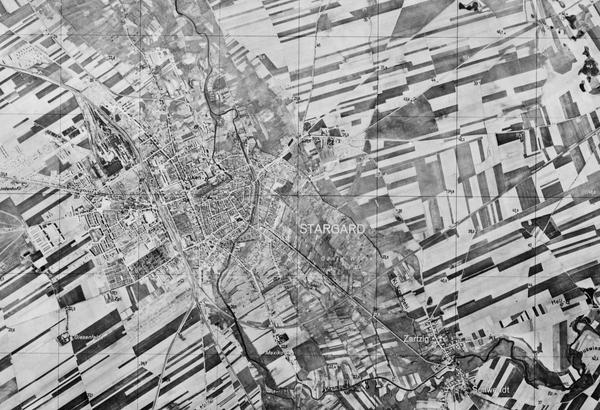
Getmapping plc began in November 1998 as the Millennium Mapping Company (MMC). Its mission was to produce the Millennium Map, the first complete cover of the UK in colour at 1:10,000 scale. Photography was flown by Cooper Aerial Surveys, with film processing and scanning carried out by Wildgoose.
In 1999, MMC's first year of flying, 70% of England was photographed. In January 2000, the company was re-branded as Getmapping and by the end of the year the remainder of England and Wales had been photographed. From 2000, central Scotland was covered at 1:10,000, with the southern-central highlands being photographed at 1:20,000. Getmapping then won a contract with Ordnance Survey to subsequently fly the Scottish Highlands over a two-year period at 1:12,000 scale. In 2004, the last year of the project, Getmapping began a programme to re-fly areas of southern England at larger scale using digital aerial cameras.
UK Perspectives (UKP) was a partnership between two of the UK's major mapping companies, Simmons Aerofilms and NRSC Ltd (previously the National Remote Sensing Centre). Launched in 1998, the UKP project was called the Millennium Aerial Photographic Survey (MAPS).
The two partners used their own photographic survey aircraft, equipped with metric cameras, to acquire colour aerial photography at a uniform scale of 1:10,000. Predominantly geared to the commercial market, from the outset the partners offered ortho-rectified imagery for professional use. Although the project had 'UK' in its title, the partners only collected photography of England and south Wales; other areas were not considered to be economically viable. Following the separate take-over of both partners, the project was dissolved in 2005.
Acquisition
Both collections were stored and managed by Bluesky International Ltd before their transfer to NCAP in 2015.
Scope
Between them, the two collections contain over 250,000 images providing complete cover of England, Wales, Northern Ireland, and Scotland – apart from Orkney and Shetland – taken from the late 1990s through to the early 2000s.
| Geographical coverage | ||
|---|---|---|
| England | Ireland | Northern Ireland |
| Scotland | Wales | |
Collection contents
The Getmapping Collection is made up of:
- c.137,400 images on 368 rolls of aerial survey film
The UK Perspectives Collection is made up of
- c.113,600 images on 568 rolls of aerial survey film
Air Photo Finder
Some of these Collections have been digitised and are available to view on the Air Photo Finder.
Subscriptions
Subscribe to NCAP to view zoomable images and finding aids.
ArchivesSpace
These Collections are accessible via our Paid Image Search and Search Room services. Visit ArchivesSpace to learn about the Collection hierarchies.
Air Photo Finder Subscriptions
ArchivesSpace: Getmapping - external ArchivesSpace: UK Perspectives - external
IN THIS SECTION

Allied Central Interpretation Unit
The ACIU Collection is home to 5.5 million photographic reconnaissance images taken during the Second World War, providing a visual record of occupied Western Europe.
British Aerial Survey Firms
NCAP has extensive holdings of photography taken by several important British aerial survey companies over a period of 50 years.
Defence Geographic Centre
The DGC Collection contains aerial photographs of locations around the world, originally used to create maps for issue to British and Commonwealth forces.

Directorate of Overseas Surveys
The DOS Collection provides a unique historical perspective, recording the changing landscapes of much of the Commonwealth throughout the 20th century.

Environment Agency
The EA Collection is a valuable record of the quickly changing coastal landscapes of the south-east of England, from Bournemouth round to Gravesend.
German Air Force
The GX Collection contains photos taken by the Luftwaffe during the Second World War, which were then used for intelligence purposes during the Cold War.

Joint Air Reconnaissance Intelligence Centre
The JARIC Collection holds millions of Cold War reconnaissance images and forms unique record of British interests and activities.

Mediterranean Allied Photo Reconnaissance Wing
The MAPRW Collection contains c.150,000 aerial photographs taken during WWII by Allied units operating from North Africa and Italy.

National Archives and Records Administration
The NARA Collection contains worldwide imagery digitised as part of a partnership with the United States National Archives and Records Administration.

Natural Environment Research Council
The NERC Collection contains over 27,300 aerial photographs taken around Europe for research purposes on behalf of the British Geological Survey.

Scottish Office Air Photographs Unit
The Scottish Office APU Collection provides a remarkable, 100-year record of Scotland’s changing landscapes from 1.5 million aerial photos of Scotland.