
National Archives and Records Administration
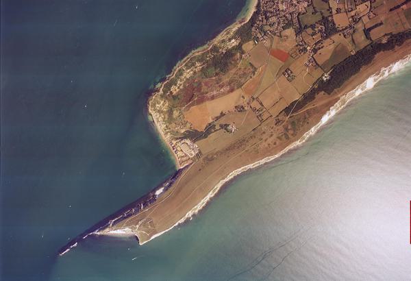
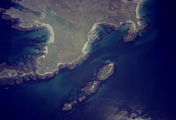
The National Archives and Records Administration Collection contains aerial imagery and associated records. These have been copied under the auspices of a digitisation partnership between the National Collection of Aerial Photography (NCAP) and the United States National Archives and Records Administration (NARA). The partnership aims to copy NARA's extensive holdings of aerial photography held in Record Group 373 – Records of the Defense Intelligence Agency.
History
NARA is an independent agency of the United States federal government. It preserves and shares public records that trace the story of the United States of America, its government, and people.
As the nation's record keeper, NARA carries out its mission through a nationwide network of archives, records centres, Presidential Libraries, and online. NARA holds over 30 million aerial photographs dating from 1935 to 1970, transferred to it from the Defense Intelligence Agency.
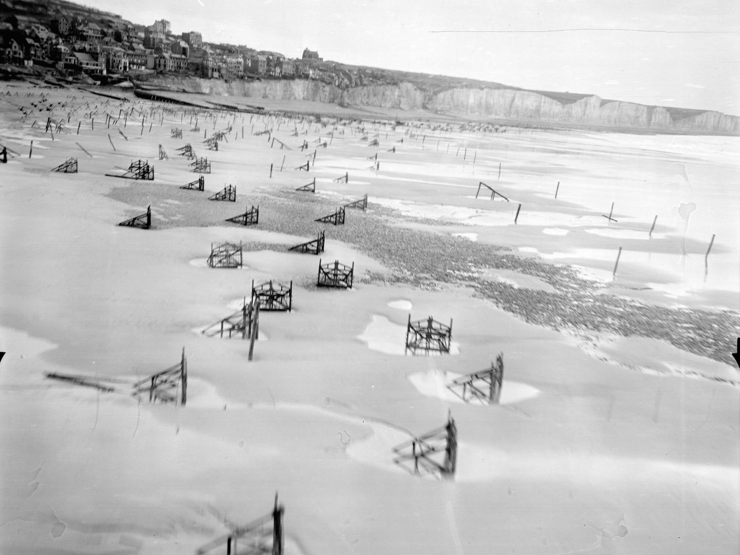
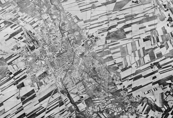
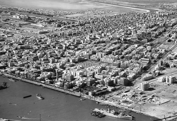
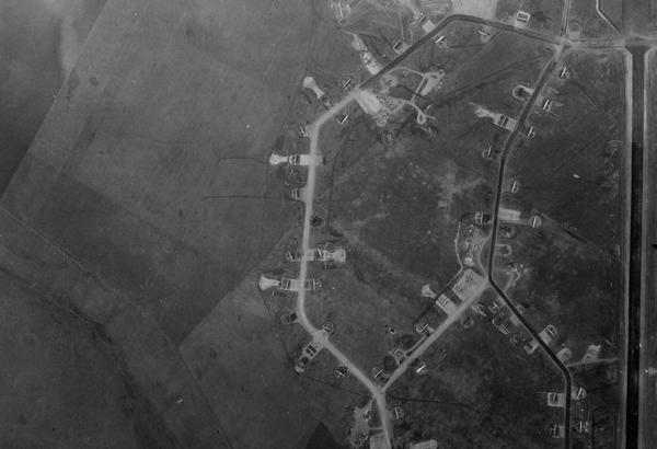
This imagery was predominantly created by the US Navy, Army Air Corps and Air Force for military reconnaissance and mapping projects, but also includes Second World War-era aerial photography captured by the Americans from the Germans (code-named GX) and the Japanese (code-named JX).
Acquisition
NCAP began its digitisation partnership with NARA in 2016. Focusing on aerial photography from the Second World War, the digital imagery created through the partnership is made publicly accessible via the NCAP website. NARA imagery is regularly added to NCAP on a rolling basis.
Scope
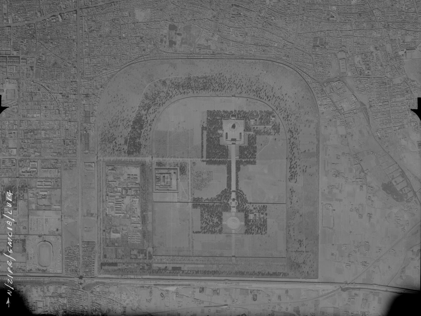
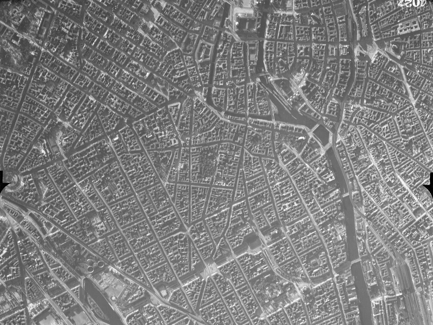
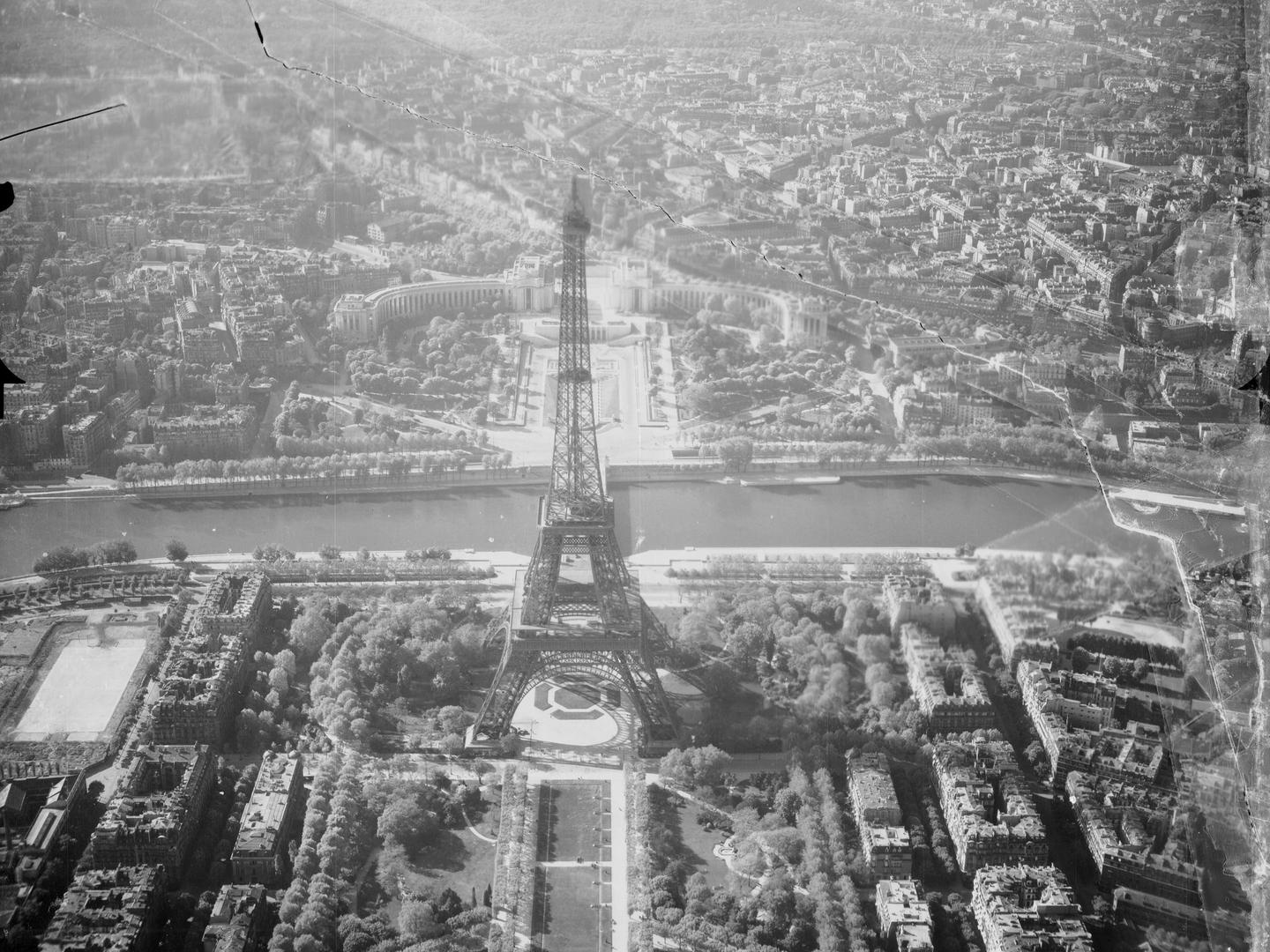
So far, the partnership has resulted in the digitisation of NARA images of locations across Europe, including countries not well represented in NCAP-held collections. Further afield, imagery of South America, South-East Asia, the Pacific, and the Middle East has also been processed.
| Geographical coverage | ||
|---|---|---|
| Argentina | Ireland | Qatar |
| Austria | Italy | Russia |
| Bangladesh | Japan | Saudi Arabia |
| China | Kosovo | Serbia |
| Denmark | Latvia | Slovakia |
| Estonia | Lithuania | Solomon Islands |
| Federated States of Micronesia | Mariana Islands | South Korea |
| Finland | Marshall Islands | Spratly Islands |
| France | Moldova | Switzerland |
| Germany | Myanmar | Thailand |
| Greece | North Korea | United Kingdom |
| Greenland | Oman | United Arab Emirates |
| Hungary | Pakistan | USA |
| Iceland | Palau | Vietnam |
| Iran | Philippines | |
| Iraq | Poland | |
collection contents
The NARA Collection at NCAP is made up of:
- Hundreds of thousands of digital aerial photographs, scanned as part of an ongoing programme of digitisation (the physical originals are retained by NARA)
Air Photo Finder
All NARA images so far digitised on behalf of NCAP are available to view on the Air Photo Finder.
Subscriptions
Subscribe to NCAP to view zoomable images and finding aids.
ArchivesSpace
Visit ArchivesSpace to learn about the Collection hierarchies.
IN THIS SECTION

Allied Central Interpretation Unit
The ACIU Collection is home to 5.5 million photographic reconnaissance images taken during the Second World War, providing a visual record of occupied Western Europe.
British Aerial Survey Firms
NCAP has extensive holdings of photography taken by several important British aerial survey companies over a period of 50 years.
Defence Geographic Centre
The DGC Collection contains aerial photographs of locations around the world, originally used to create maps for issue to British and Commonwealth forces.
Directorate of Overseas Surveys
The DOS Collection provides a unique historical perspective, recording the changing landscapes of much of the Commonwealth throughout the 20th century.
Environment Agency
The EA Collection is a valuable record of the quickly changing coastal landscapes of the south-east of England, from Bournemouth round to Gravesend.
German Air Force
The GX Collection contains photos taken by the Luftwaffe during the Second World War, which were then used for intelligence purposes during the Cold War.
Joint Air Reconnaissance Intelligence Centre
The JARIC Collection holds millions of Cold War reconnaissance images and forms unique record of British interests and activities.
Mediterranean Allied Photo Reconnaissance Wing
The MAPRW Collection contains c.150,000 aerial photographs taken during WWII by Allied units operating from North Africa and Italy.
Millennium Mapping
NCAP is home to the Getmapping and UK Perspectives Collections, two parallel projects to create a visual record of the UK at the turn of the millennium.
Natural Environment Research Council
The NERC Collection contains over 27,300 aerial photographs taken around Europe for research purposes on behalf of the British Geological Survey.
Scottish Office Air Photographs Unit
The Scottish Office APU Collection provides a remarkable, 100-year record of Scotland’s changing landscapes from 1.5 million aerial photos of Scotland.