
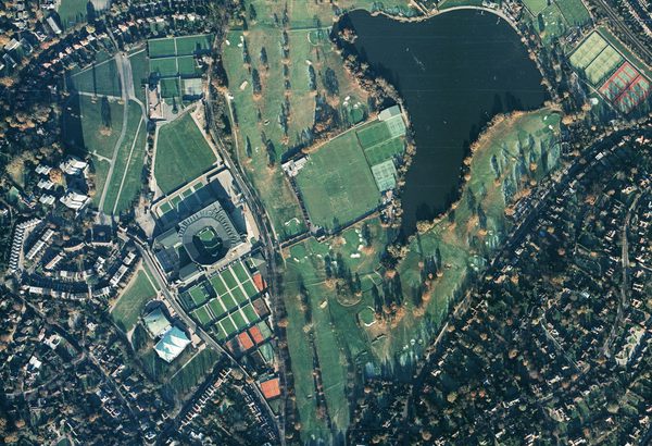
Collection: NERC, Sortie: ARSF/1995/15, Frame: 8049 (21 July 1995)
The Needles, Isle of Wight
Collection: NERC, Sortie: ARSF/1995/15, Frame: 8049 (21 July 1995)
Natural Environment Research Council
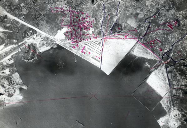
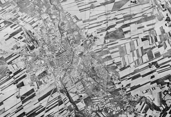
The Natural Environment Research Council (NERC) Collection contains over 27,300 aerial photographs taken on behalf of the British Geological Survey to assist its research programmes. There are a further 233,000 aerial photographs and associated data from the Sea Mammal Research Unit (SMRU) of the Scottish Oceans Institute, University of St Andrews.
History
The British Geological Survey (BGS) was initially founded as the Geological Survey of Great Britain in 1835. In 1965, the Geological Survey of Great Britain merged with several other organisations to form the Institute of Geological Sciences under the Natural Environment Research Council (NERC). NERC is one of nine research bodies that falls under UK Research and Innovation and has a particular focus on environmental sciences.
The Institute of Geological Sciences became the British Geological Survey in 1984. In 1981, the BGS began contracting the commercial survey firms Hunting Surveys Ltd and J A Story Ltd to take aerial photographs for research purposes. NERC – the parent organisation of BGS – acquired its own aerial survey capability in 1983.
Originally using a Piper PA31 Navajo Chieftain (and later a Dornier DO 228-101), the Airborne Research and Survey Facility (ARSF), provided NERC with the ability to use a variety of airborne instruments and sensors to collect data for a multitude of environmental research projects. From 1983 to 2005, the ARSF collected aerial photography on behalf of the BGS. The resulting negative films were processed by the aerial survey company Simmons Aerofilms, while the production of prints and enlargements and any required film scanning was carried out by BKS Surveys.
The Sea Mammal Research Unit (SMRU) was established in 1978 by NERC from the merger of the Seals Research Division and Whale Research Unit. Originally based in Cambridge, SMRU moved to the University of St Andrews in 1996 where it functions as an independent research group and a NERC National Capability Delivery Partner.
Under its Royal Charter, NERC is required to supply advice to the UK Government on matters relating to the management of seals in the UK and its sovereign waters. SMRU was created to ensure that NERC was able to fulfil these requirements and this continues to be one of SMRU’s central roles.
Acquisition
The ARSF was transferred to the management of the British Antarctic Survey in 2014, where it was renamed the NERC Airborne Research Facility (ARF). The original NERC aerial survey film archive – including photographs taken by the ARSF and survey companies – continued to be held by the BGS until 2015 when it was transferred to the care of the National Collection of Aerial Photography (NCAP).
The SMRU collection was held by the Scottish Oceans Institute at the University of St Andrews from its creation until it was deposited with NCAP in 2024.
Scope
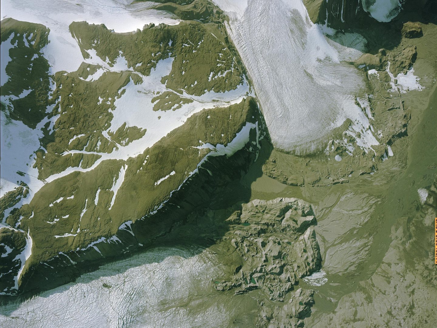
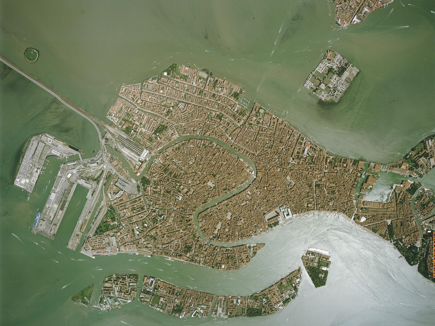
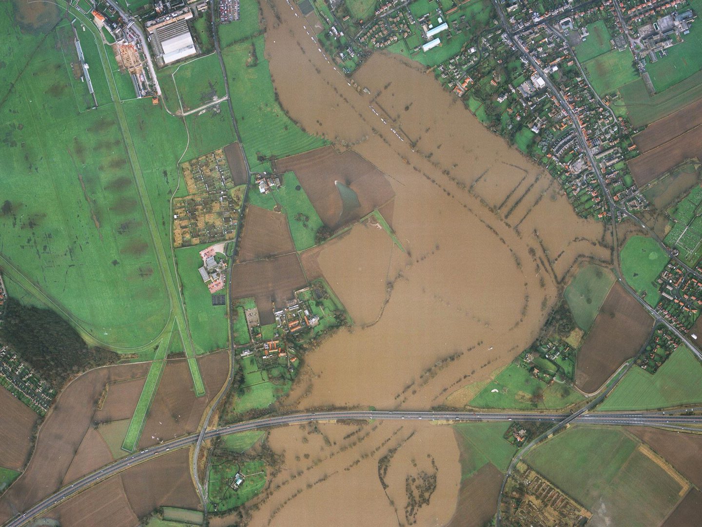
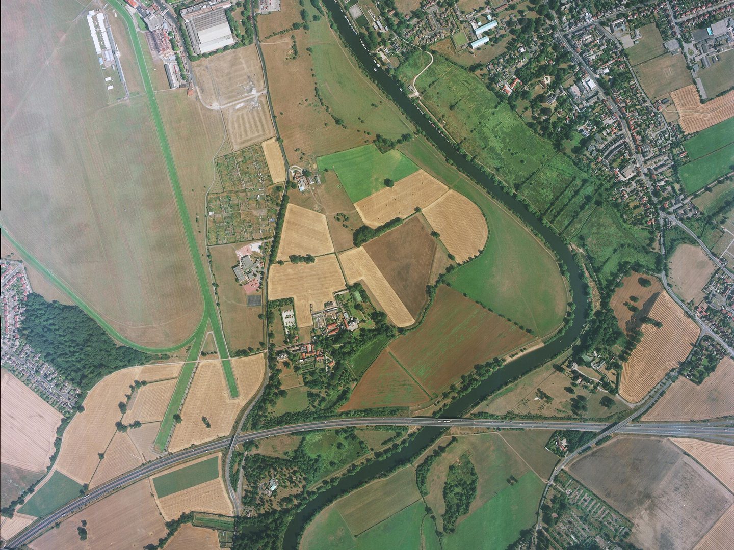
Dating from 1946-2022, the Collection includes photographs of locations in Belgium, Cyprus, France, Greece, Italy, the Netherlands, Svalbard, Spain, Sweden, and the UK.
| Geographical coverage | ||
|---|---|---|
| Bolivia | Kenya | Solomon Islands |
| Brazil | Malawi | Spain |
| Brunei | Malaysia | Sweden |
| Canada | Netherlands | Tanzania |
| Cyprus | Northern Ireland | Trinidad and Tobago |
| England | Norway | Uganda |
| Fiji | Oman | USA |
| Greece | Peru | Wales |
| Honduras | Saint Helena, Ascension and Tristan da Cunha | Yemen |
| Iceland | Scotland | Zimbabwe |
| Jamaica | Slovakia | |
Collection contents
The Collection is made up of:
- over 260,000 print, digital and film aerial photographs
Air Photo Finder
The Collection has been digitised and is available to view on the Air Photo Finder.
Subscriptions
Subscribe to NCAP to view zoomable images and finding aids.
ArchivesSpace
Visit ArchivesSpace to learn about the Collection hierarchy.
Air Photo Finder Subscriptions ArchivesSpace - external
IN THIS SECTION

Allied Central Interpretation Unit
The ACIU Collection is home to 5.5 million photographic reconnaissance images taken during the Second World War, providing a visual record of occupied Western Europe.
British Aerial Survey Firms
NCAP has extensive holdings of photography taken by several important British aerial survey companies over a period of 50 years.
Defence Geographic Centre
The DGC Collection contains aerial photographs of locations around the world, originally used to create maps for issue to British and Commonwealth forces.

Directorate of Overseas Surveys
The DOS Collection provides a unique historical perspective, recording the changing landscapes of much of the Commonwealth throughout the 20th century.

Environment Agency
The EA Collection is a valuable record of the quickly changing coastal landscapes of the south-east of England, from Bournemouth round to Gravesend.
German Air Force
The GX Collection contains photos taken by the Luftwaffe during the Second World War, which were then used for intelligence purposes during the Cold War.

Joint Air Reconnaissance Intelligence Centre
The JARIC Collection holds millions of Cold War reconnaissance images and forms unique record of British interests and activities.

Mediterranean Allied Photo Reconnaissance Wing
The MAPRW Collection contains c.150,000 aerial photographs taken during WWII by Allied units operating from North Africa and Italy.

Millennium Mapping
NCAP is home to the Getmapping and UK Perspectives Collections, two parallel projects to create a visual record of the UK at the turn of the millennium.

National Archives and Records Administration
The NARA Collection contains worldwide imagery digitised as part of a partnership with the United States National Archives and Records Administration.

Scottish Office Air Photographs Unit
The Scottish Office APU Collection provides a remarkable, 100-year record of Scotland’s changing landscapes from 1.5 million aerial photos of Scotland.