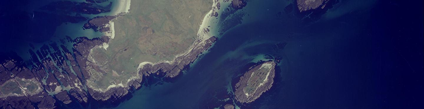
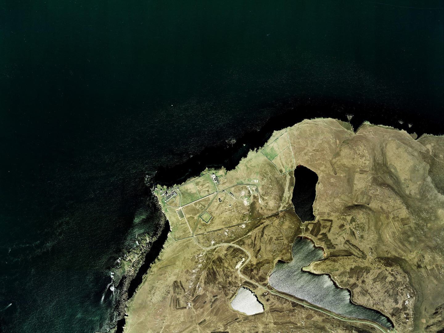
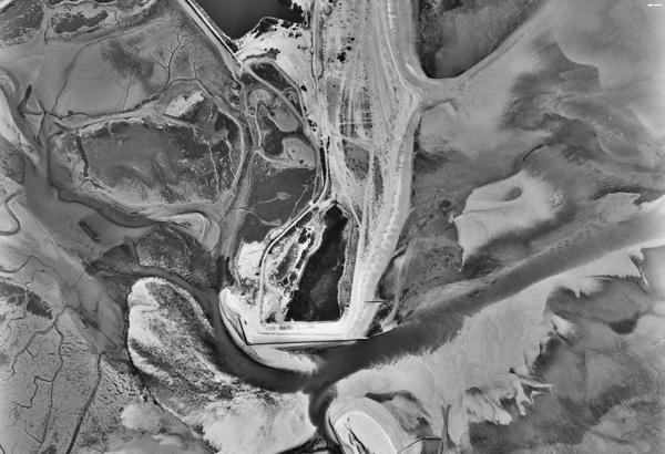
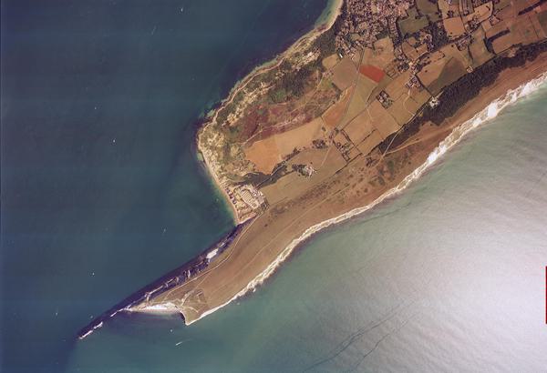
Collection: Scottish Office, Sortie: ASS/51488, Frame: 0001 (10 October 1988)
The island of Oronsay, Argyll & Bute
Collection: Scottish Office, Sortie: ASS/51488, Frame: 0001 (10 October 1988)
Scottish Office Air Photographs Unit
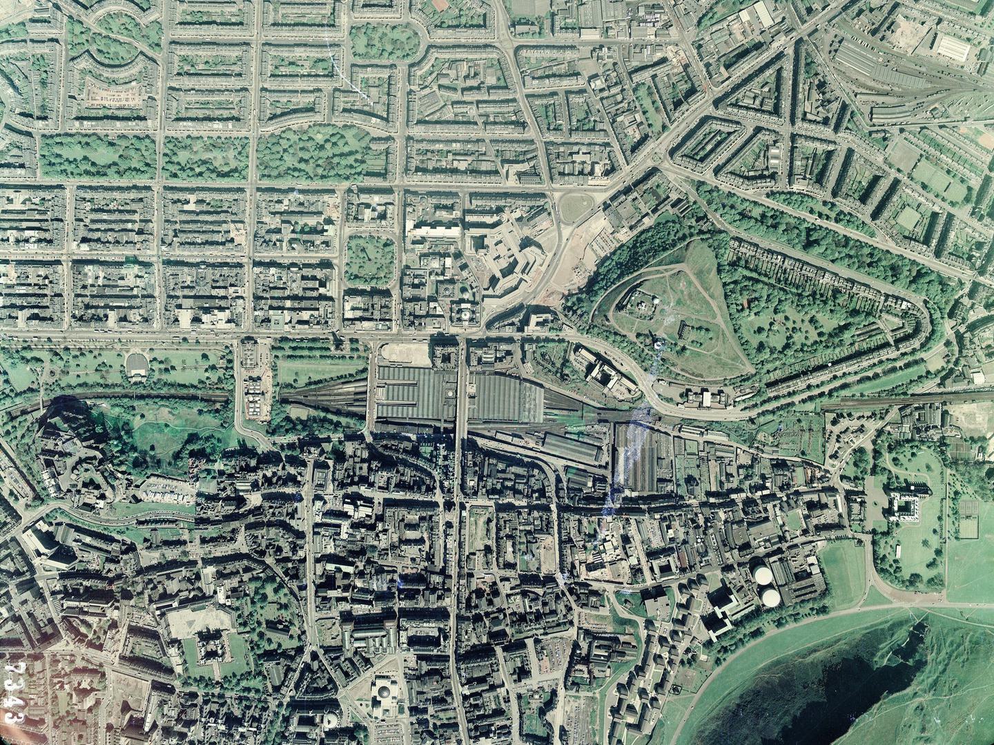
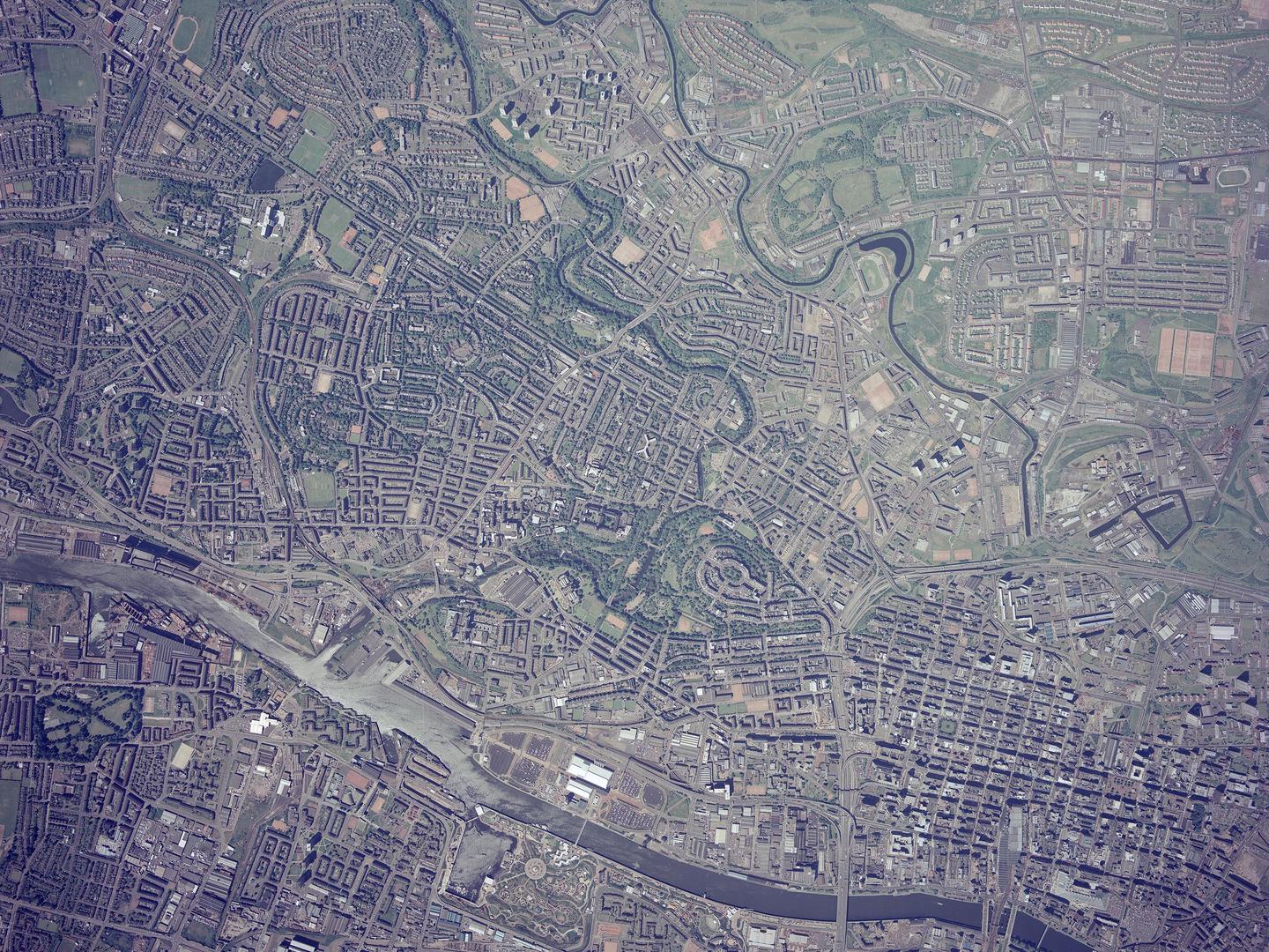
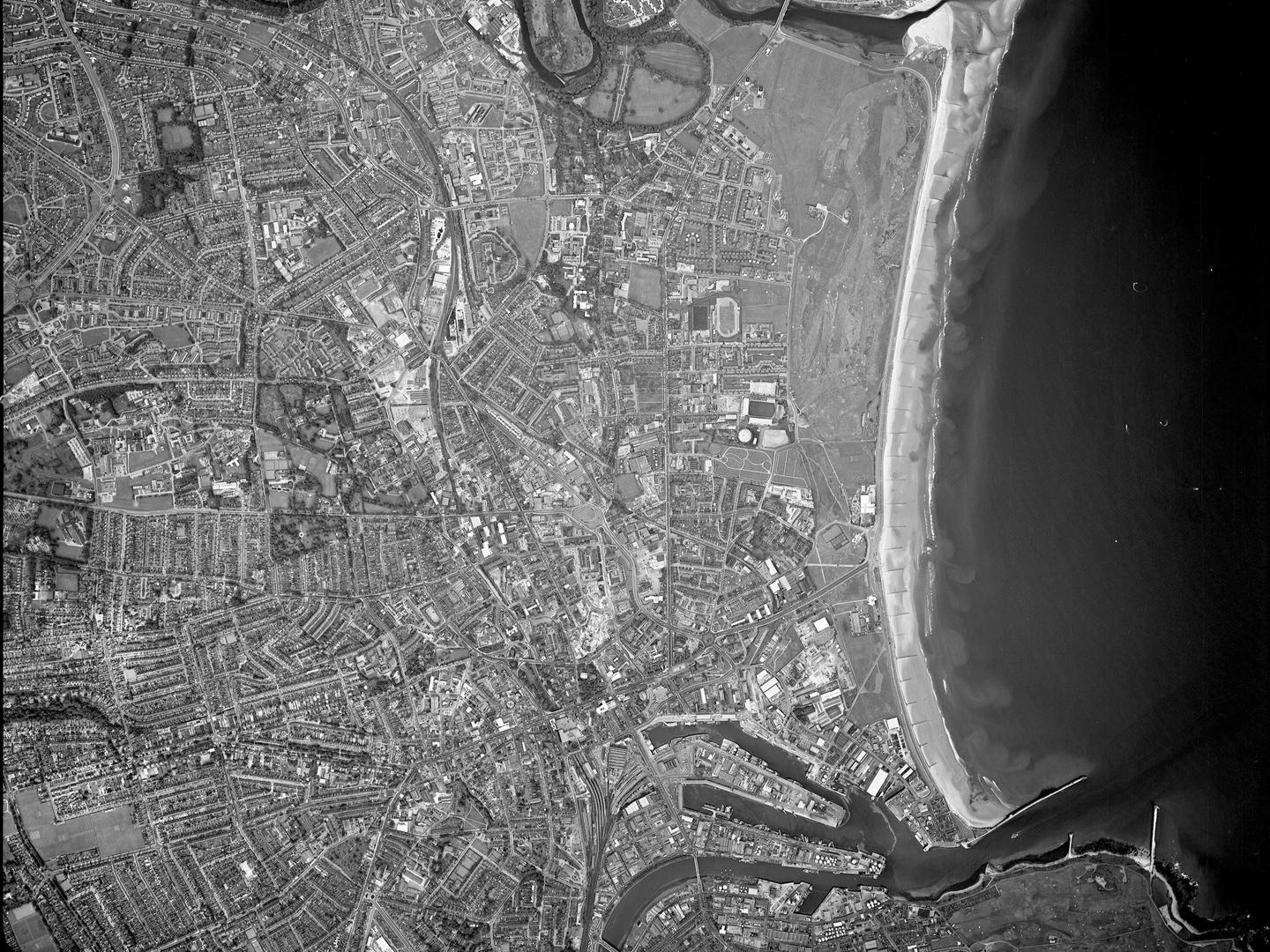
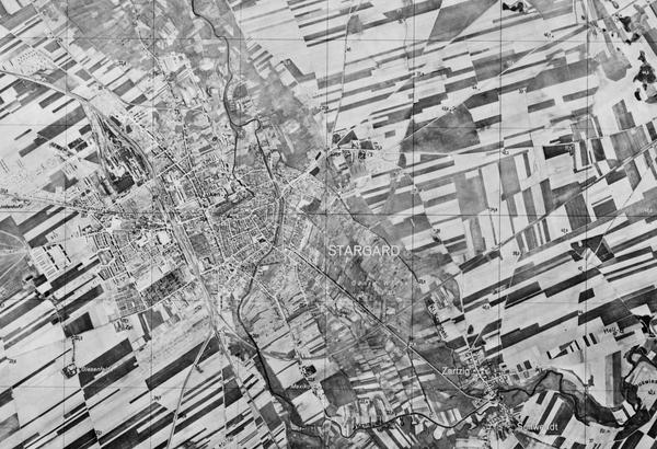
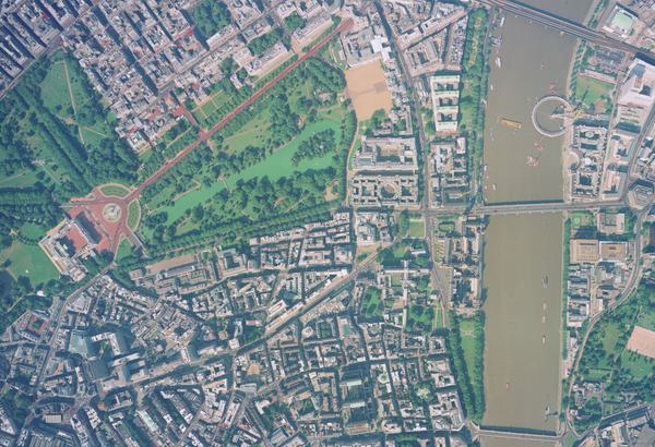
The Scottish Office Air Photographs Unit (APU) Collection contains over 1.5 million aerial photographs of Scotland taken from the mid-1930s to the early 2000s. Central to the Collection are images taken in the 1940s as part of the National Air Photograph Survey. The Collection is further made up of numerous smaller collections brought together under the auspices of the Scottish Office Air Photographs Unit. The Collection forms a remarkable and comprehensive record of Scotland’s changing landscapes.
History
At the end of the Second World War, the Royal Air Force (RAF) undertook Operation REVUE to provide the Ordnance Survey with aerial photography of the entire UK. This photography provided a basis for new mapping and informed post-war planning and reconstruction. Several photographic reconnaissance squadrons undertook this work throughout the late 1940s and around 500 sorties were flown over Scotland, resulting in over 280,000 aerial photographs.
Copies of these photographs were held by the Scottish Office in a specially created Air Photograph Library in Edinburgh. During the 1960s, the Library was renamed the Air Photographs Unit and was administered by the Scottish Development Department, part of the Scottish Office. It grew significantly with the transfer of Ministry of Defence (MoD) and Ordnance Survey (OS) imagery of Scotland dating from the Second World War onwards.
The APU commissioned aerial surveys on behalf of the Scottish Development Department and advised the Scottish public-sector on the application of aerial imagery. It also maintained the Central Register of Aerial Photography of Scotland, a register of all known aerial imagery covering the country, mirroring similar services in England and Wales. As MoD and OS imagery was declassified, batches of roll film and copy prints were transferred to the APU at regular intervals.
Staff catalogued any accompanying finding aids and manually plotted the footprint of each sortie onto a series of one-inch-to-one-mile overview maps, to allow cover searches to be carried out. The APU also serviced a growing number of public enquiries and visitors who wished to view the collection in person.
Acquisition
Photographs taken during the National Air Photograph Survey were held from their creation by the Scottish Office Air Photograph Library (later APU), within the Department of Health for Scotland. In 1962 the material was transferred to the Scottish Development Department. Other material entered the collection as it was acquired or commissioned by the APU. The APU Collection was transferred to the Royal Commission on the Ancient and Historical Monuments of Scotland (now Historic Environment Scotland) in 1993.
Scope
The Collection covers the whole of Scotland, mostly taken in an ad hoc fashion at various points from the mid-1930s to the early 2000s. However, particularly key are the two all-Scotland surveys undertaken in the late 1940s and late 1980s.
| Geographical coverage | |
|---|---|
| England | Isle of Man |
| Northern Ireland | Scotland |
Collection contents
The Collection is made up of:
- over 1.5 million images on a wide variety of film and print formats (nitrate negatives dating to 1945-1949 were copied onto acetate film and destroyed in the 1950s)
- associated sortie plots and administrative records
Air Photo Finder
Some of this Collection has been digitised and is available to view on the Air Photo Finder.
Subscriptions
Finding aids are available for this Collection and can be examined with a subscription.
ArchivesSpace
The Collection is accessible via our Paid Image Search and Search Room services. Visit ArchivesSpace to learn about the Collection hierarchies.
IN THIS SECTION

Allied Central Interpretation Unit
The ACIU Collection is home to 5.5 million photographic reconnaissance images taken during the Second World War, providing a visual record of occupied Western Europe.
British Aerial Survey Firms
NCAP has extensive holdings of photography taken by several important British aerial survey companies over a period of 50 years.
Defence Geographic Centre
The DGC Collection contains aerial photographs of locations around the world, originally used to create maps for issue to British and Commonwealth forces.
Directorate of Overseas Surveys
The DOS Collection provides a unique historical perspective, recording the changing landscapes of much of the Commonwealth throughout the 20th century.
Environment Agency
The EA Collection is a valuable record of the quickly changing coastal landscapes of the south-east of England, from Bournemouth round to Gravesend.
German Air Force
The GX Collection contains photos taken by the Luftwaffe during the Second World War, which were then used for intelligence purposes during the Cold War.
Joint Air Reconnaissance Intelligence Centre
The JARIC Collection holds millions of Cold War reconnaissance images and forms unique record of British interests and activities.
Mediterranean Allied Photo Reconnaissance Wing
The MAPRW Collection contains c.150,000 aerial photographs taken during WWII by Allied units operating from North Africa and Italy.
Millennium Mapping
NCAP is home to the Getmapping and UK Perspectives Collections, two parallel projects to create a visual record of the UK at the turn of the millennium.

National Archives and Records Administration
The NARA Collection contains worldwide imagery digitised as part of a partnership with the United States National Archives and Records Administration.
Natural Environment Research Council
The NERC Collection contains over 27,300 aerial photographs taken around Europe for research purposes on behalf of the British Geological Survey.