Pioneering Robotic Digitisation
Why robotic digitisation?
The National Collection of Aerial Photography (NCAP) includes a significant amount of valuable non-military survey material. Several years ago, it was estimated that using traditional methods, manually scanning our holdings would take over 300 years, an unrealistic timeframe for digitising our collections. Our mission is to digitise these collections to provide access and preserve the information contained within each image. Given the finite lifespan of photographic materials, converting each image to digital form is essential for preserving the collections for future generations.
The NCAP team embarked on research and development endeavours into automated scanning systems to address the need for faster digitisation processes. With the advantage of aerial photographic collections characterised by a discrete set of format sizes and mediums, our senior management team recognised the potential for systematic processes to be leveraged to our advantage.
Given the fragility of some degrading photographic mediums, this would have to be done safely and carefully while respecting the original object as an important historical record. Our goal was to accelerate digitisation while relieving our staff from the physical and mental strain of repetitive tasks. This shift allows our team to focus on the essential stabilisation and care of the physical materials before they undergo automated processing.
NCAP's robots are capable of running 24 hours a day, 7 days a week.
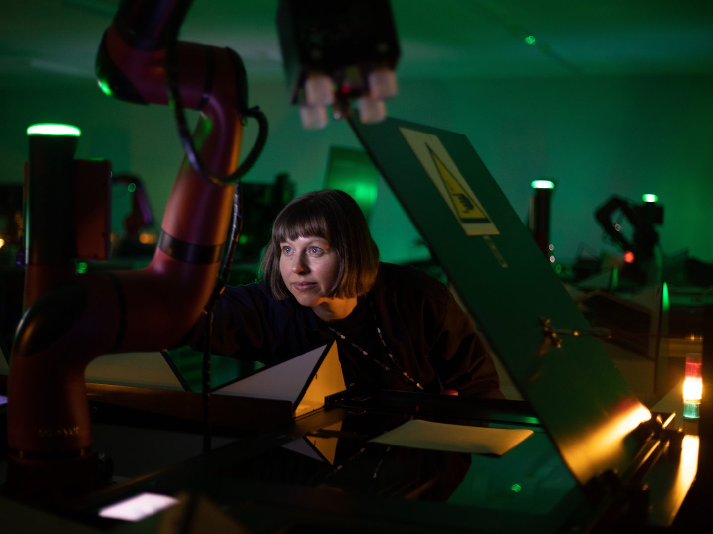
Cobot or robot
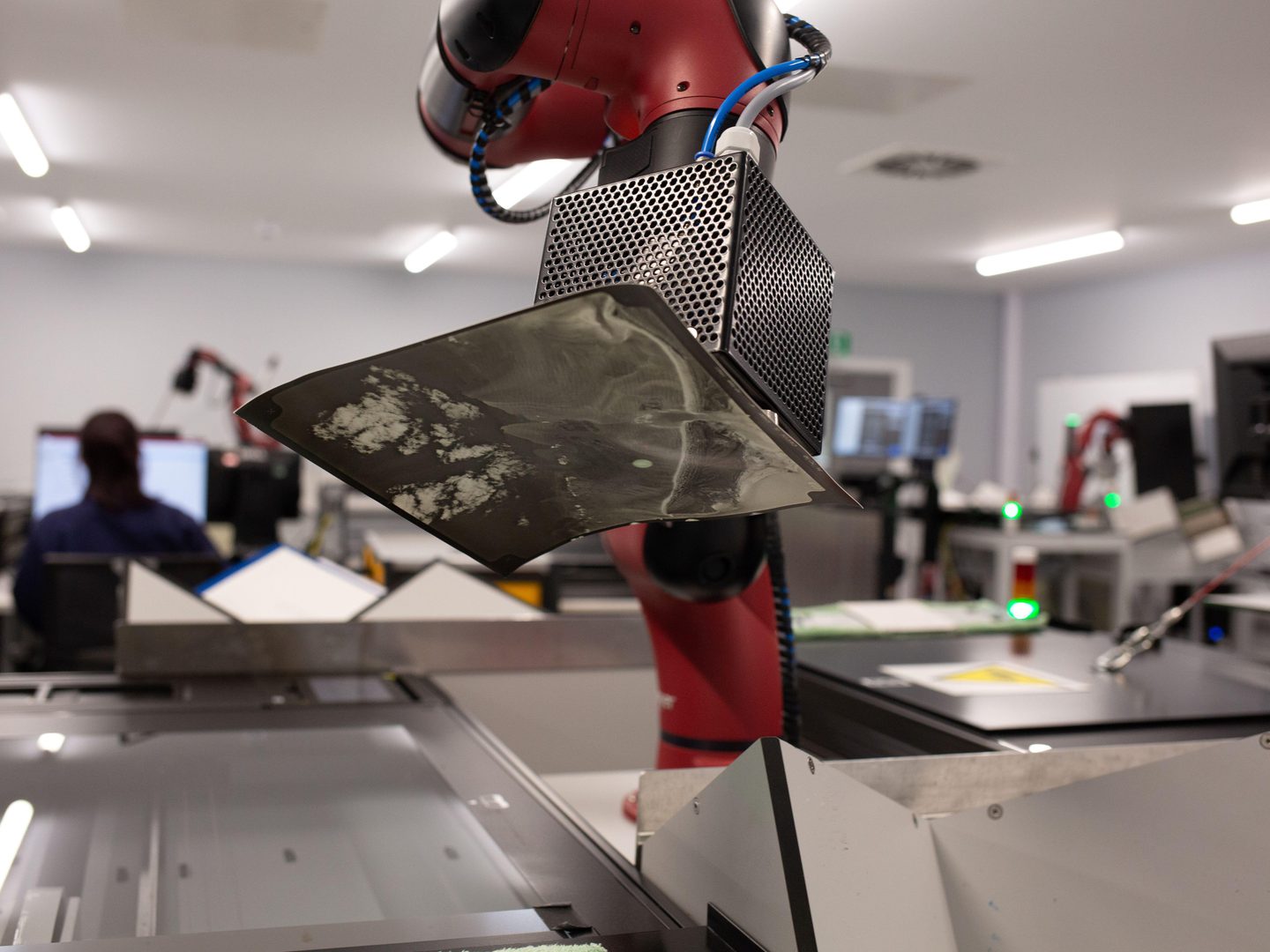
Working with specialist engineers at CBM-Logix in Leeds, UK, we developed a collaborative robot capable of repeatedly and delicately handling cleaned, flattened photographic prints on the scanner glass, and then repeating the process in reverse after scanning.
While we often use the terms "robot" and "cobot" interchangeably, technically these are cobots—collaborative robots designed for close and direct human-robot interaction within a shared space. In our case, this means that the cobots automatically halt if they encounter something or someone while executing their predetermined actions. This safety feature is crucial to protect both staff and photographs from unexpected occurrences.
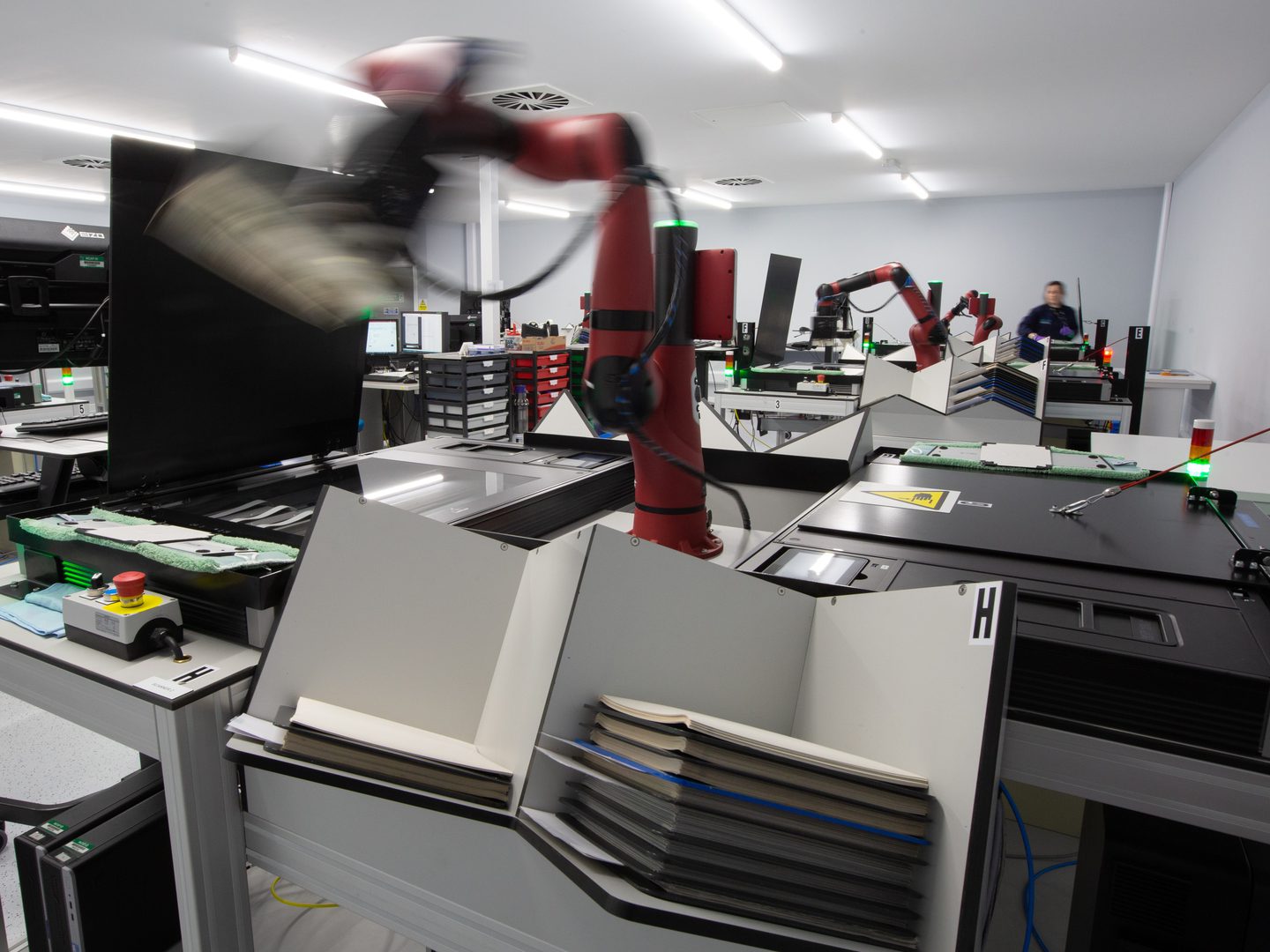
The robots are able to delicately lift and move historic photographic prints.
We believe we hold the distinction of being the foremost adopter of this robotic setup outside of the United States, and the sole institution leveraging this technology for digitising archival material. Over the years, our collaboration with the engineers at CBM-Logix has been exceptionally close, resulting in the development of a tailored model to suit our specific requirements. This endeavor has entailed numerous iterations, including refining the cobot's soft rubber suction cups for lifting prints, adapting magnets for moving weighted plates, and innovating across generations of cabling, compressors, lids, and more.
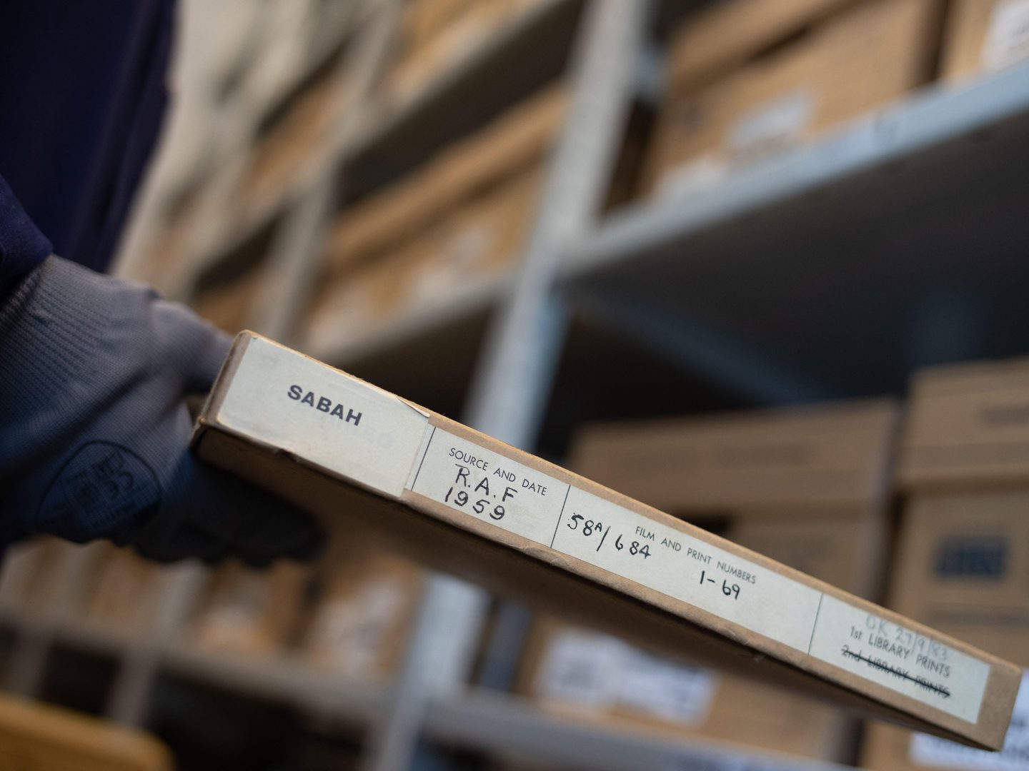
The Directorate of Overseas Surveys generated approximately 1.7 million photographs of countries around the world.
The DOS Project
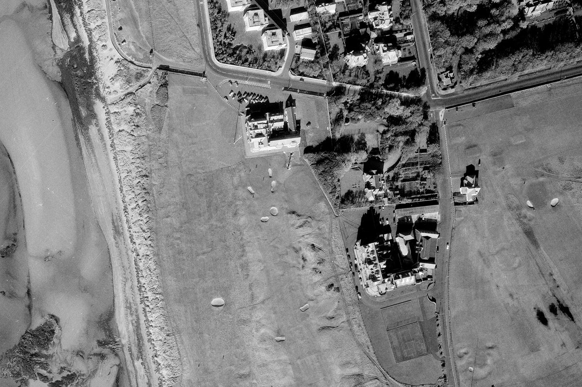
Established in 1946 as the Directorate of Colonial Surveys (DCS), it was later renamed the Directorate of Overseas Surveys (DOS) in 1957. This project then became part of the Ordnance Survey in the 1980s, eventually falling under the purview of Ordnance Survey International in the 1990s. Utilising expertise and equipment from the Second World War, the Colonial Office of the UK Government undertook the task of surveying and mapping overseas territories. It repeatedly photographed 55 Commonwealth countries from the air until the 1990s, with the bulk of the imagery made in the 1960s and 70s.
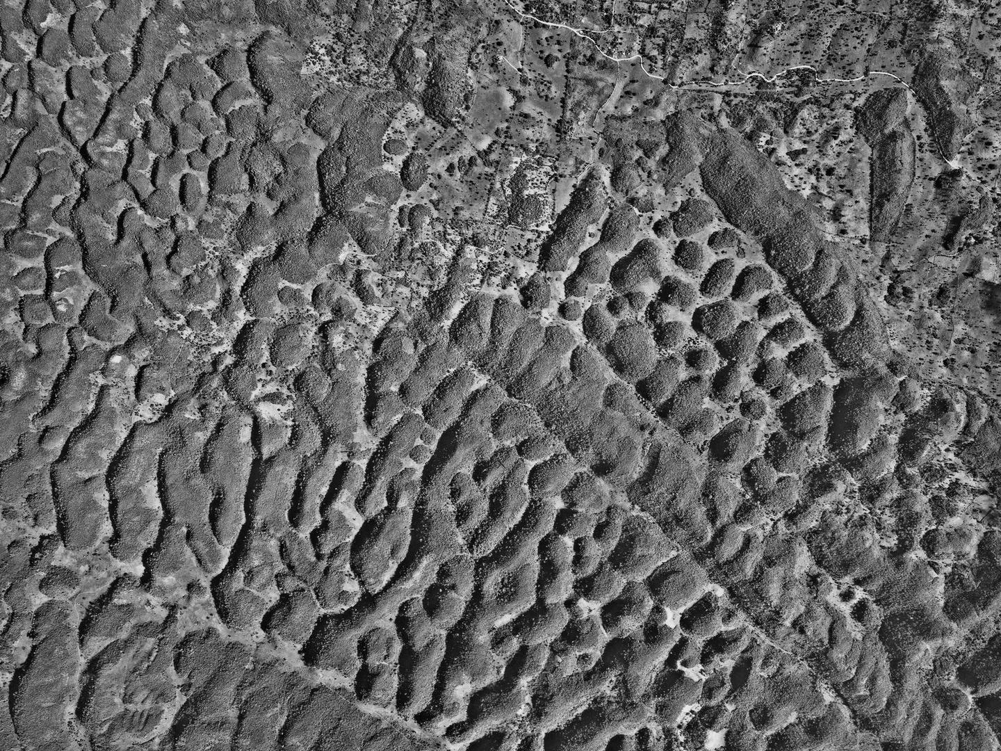
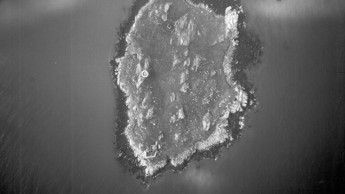
The karst limestone of central Jamaica, mapped for the first time by DOS; Collection: DOS, Sortie: 55/JA/0006, Frame: 0052 (15 March 1961)
Recently acquired by NCAP, the DOS Collection was been chosen as the focus of our pilot digitisation project, leveraging cobot systems to their fullest extent. Despite several preservation concerns, the collection comprises entirely of print material, mostly of uniform size. It was meticulously organised by country or territory and had been recognised by an international team of researchers as a previously unexplored wellspring of research data.
In 2021 we launched The DOS Project, with grant-funding from the Bank of Sweden Tercentenary Foundation. The project brought together three key partners; NCAP operating under Historic Environment Scotland (HES), the Department of Economics at Stockholm University, and the Department of Agricultural & Resource Economics at the University of California in Berkeley.
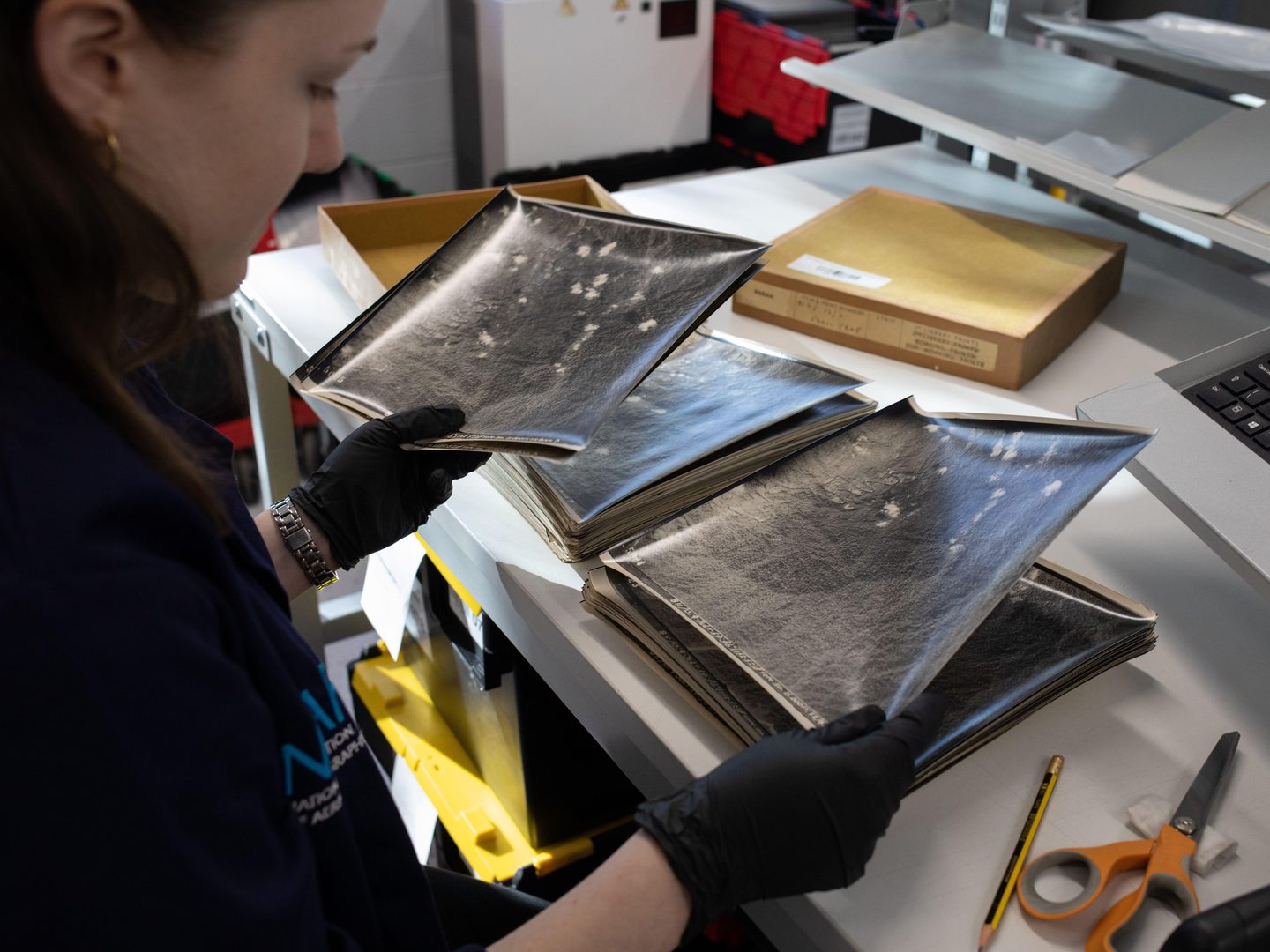
The NCAP team carefully prepared each print before it was processed by our robots.
NCAP's role in this project was to ensure the comprehensive and systematic digitisation and delivery of the entire data set in a digital form. Within the required two-year timeline, we preserved and scanned approximately 1.7 million photographs. With the final tranche of data now delivered to our international partners, the team of academic researchers have begun mining the data for research potential and future projects.
The research outcomes of The DOS Project are poised to revolutionise the accessibility of historical data documenting global environmental changes throughout the past century. This data will significantly enhance our understanding of the causes and impacts of climate change, encompassing biodiversity loss, deforestation, and the human footprint on the environment.
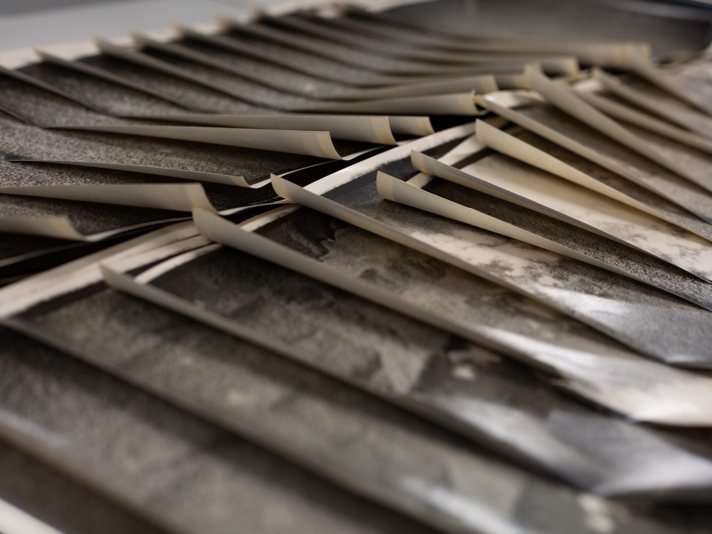
The prints digitised during the DOS Project often required cleaning, humidifying and pressing.
A new challenge
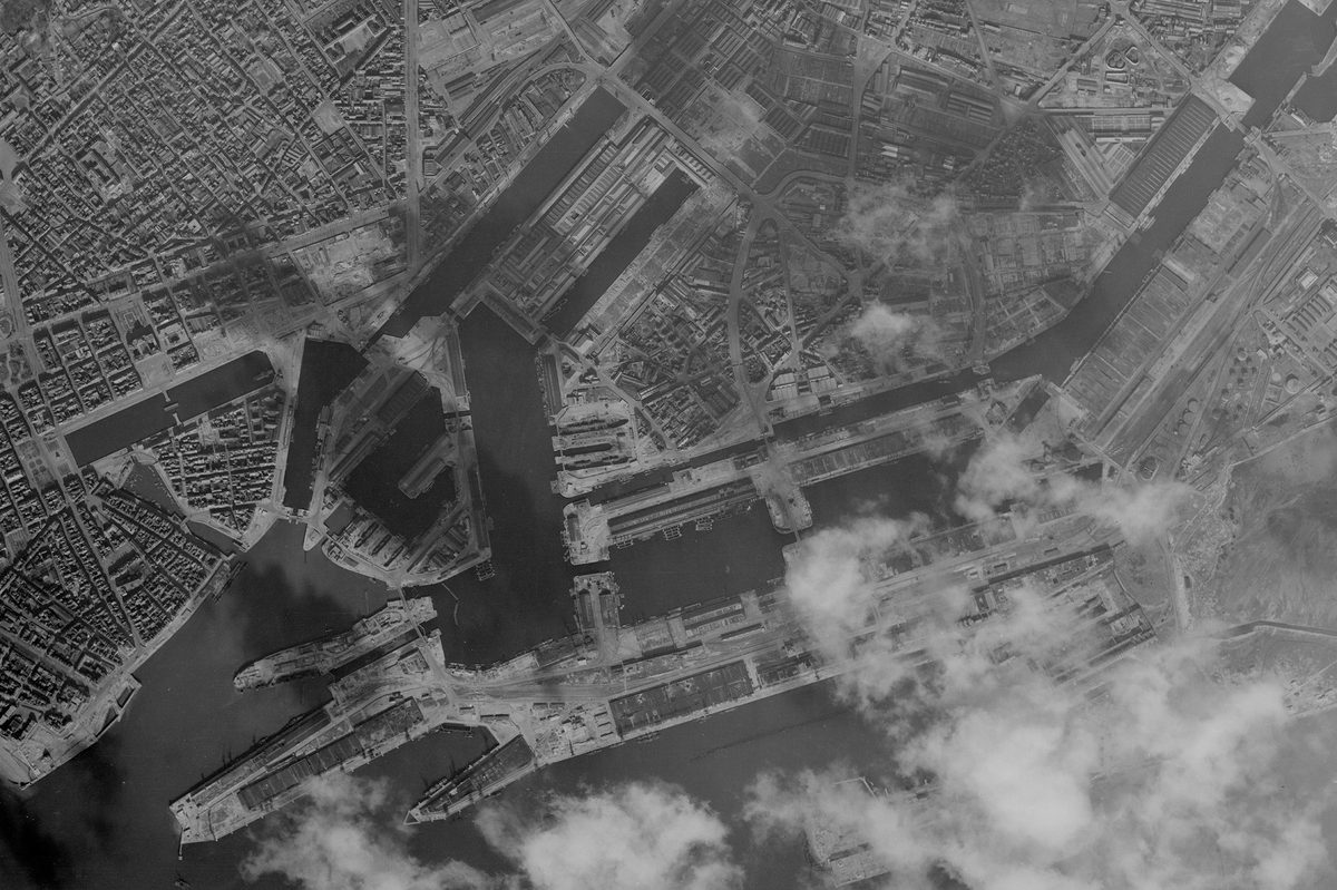
The final DOS scans were completed in November 2023. Since then, the cobots, and the team, have transitioned to a larger project: digitising 5.5 million Second World War photographs from the Allied Central Interpretation Unit (ACIU), originally located at RAF Medmenham in Buckinghamshire.
While we are utilising the same technology, the age of these prints and their original usage present new challenges in both print preservation and the robotics digitisation suite. However, our dedicated and specialised Collections Care team, equipped with invaluable institutional knowledge, is well-prepared to tackle these challenges. Coupled with the custom-designed integrated technology available through our cobotic systems, we are able to forge ahead with this monumental task.
Read more about these collections on our Image Collections pages.
Rowan Berry, NCAP Sales Admin Assistant