Case Studies
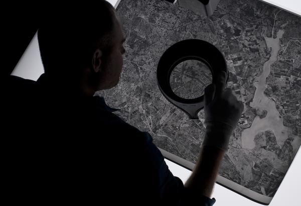
While the National Collection of Aerial Photography (NCAP) material was initially used for military operations, government research, and mapping purposes, the imagery held is now being used in a variety of new ways. Modern analysis of this imagery spanning a century provides researchers and historians with a unique and invaluable dataset. NCAP encourages new applications and ideas for accessing the collection.
Among the most active and crucial uses of NCAP imagery is in Explosive Ordinance Disposal (EOD). As the collection becomes more readily accessible through the Air Photo Finder, aerial photography is employed in climate change research, police investigations, urban development and creative industries.
Explore these case studies to discover new applications of NCAP imagery.

Creative Uses
From D-Day to the hunt for secret German weapons, the creative industry has used NCAP imagery to provide authenticity to their productions.

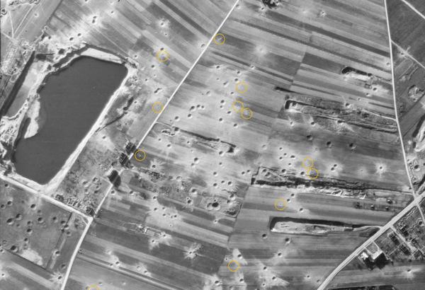
Explosive Ordnance Disposal
NCAP imagery is used by Explosive Ordnance Disposal specialists to manage and mitigate the risks posed by unexploded ordnance.

Boundary Disputes
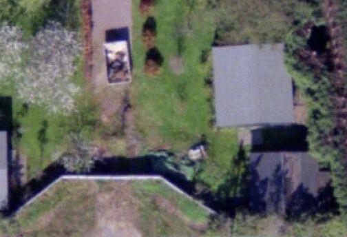
Spanning 100 years, NCAP's aerial photographs can be vital tools in litigation, providing the crucial detail needed to prove property boundaries and rights of way.

Land-use Change
Monitoring and analysing changes in land use is an essential part of planning for a sustainable future and is a commercial, political and technical challenge.

Police Investigation
NCAP aerial photography has long been used by Police Scotland in investigations and when reviewing cold cases to assess landscape changes.