How-To Guides

In this section:
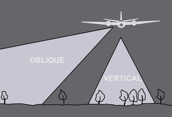
A greyscale drawing of a plane flying above 6 trees. A triangle pointing straight down from the plane indicates the area covered by a vertical aerial photo. A triangle pointing down at an angle indicates the area covered by an oblique aerial photo.

Types of Aerial Images

The capture of aerial photography has most often been been a systematic process. Learn to identify each type and see how they differ.
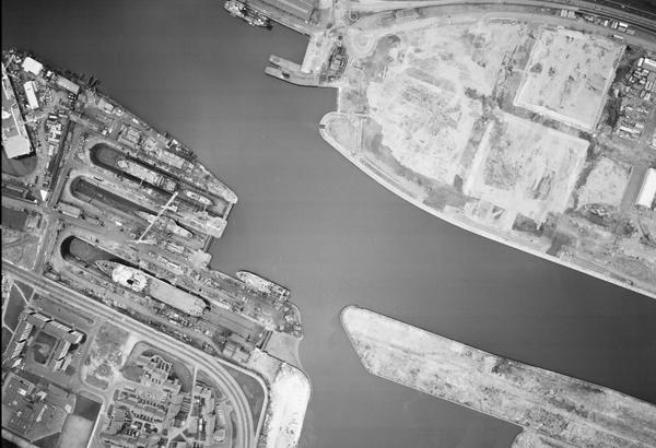
A large-scale black and white aerial photo of Glasgow. The river from the previous images now occupies almost the whole frame. At the left side, ships are clearly visible docked next to the river. There are blocks of flats in the bottom left corner.

Scale in Aerial Images

Aerial photographs come in a range of different scales. Learn what impact different scales have on understanding aerial photographs.
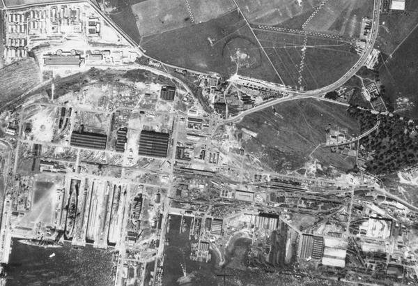
A black and white aerial photo of Rosyth docks. The image is busy and confusing. The sea is at the bottom edge with some ships in dry docks or tied up at piers. There are numerous industrial buildings and roads. At centre right is a small woodland.

Interpreting Aerial Images

Learn more about how to analyse and understand aerial imagery to make the best use of it for your research needs.