Boundary Disputes
National Collection of Aerial Photography (NCAP) imagery has become an indispensable asset in legal disputes involving property boundaries and rights of way as it provides irrefutable evidence of area use and development over time.
Illustrating changes
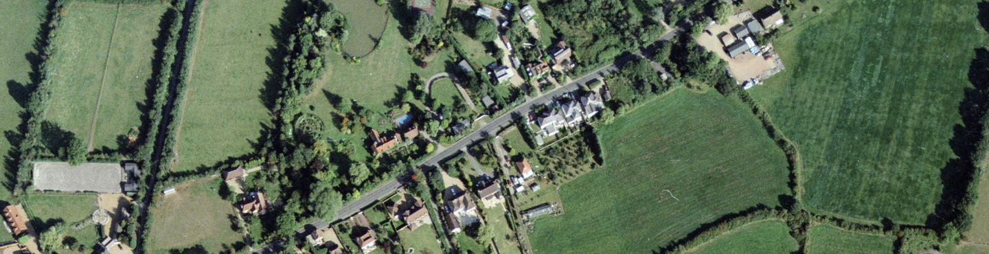
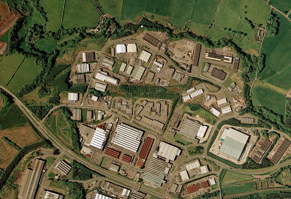
NCAP holds an extensive archive of aerial imagery spanning 100 years, providing wide-ranging coverage of the UK, Europe and global urban and rural areas. These collections have become an indispensable asset in legal disputes, particularly those involving property boundaries, vehicular access and rights of way.
Legal professionals and homeowners often face challenges in providing historical visual evidence for legal proceedings to support or dispute claims. Traditional maps may not always provide the necessary detail or may lack updates on the evolving landscape.
NCAP’s aerial photography covers locations worldwide, dating from the 1920s to the early 2010s, with ongoing acquisitions expected in the coming decades. These images offer a unique perspective that can confirm access, boundary conditions, and buildings at specific points in time. The photographs serve as a historical record, highlighting the construction or demolition of buildings and the existence of features not captured by conventional mapping methods.
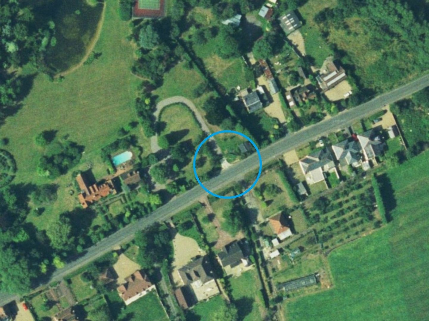
An unobscured driveway in Winkfield near Windsor; Collection: Simmons Aerofilms Ltd., Sortie: AF/92C/0614, Frame: 6722
photographic EVIDence
The original intent for much of NCAP-held photography was typically for cartographic, strategic or military purposes. This often meant many areas were systematically rephotographed over subsequent decades. The images can demonstrate incremental changes to specific areas of interest.
NCAP aerial imagery has been pivotal in demonstrating property lines and rights of way, leading to successful litigation outcomes. The photographs have provided factual evidence of changes in the landscape, such as the development of buildings, roads and extensions.
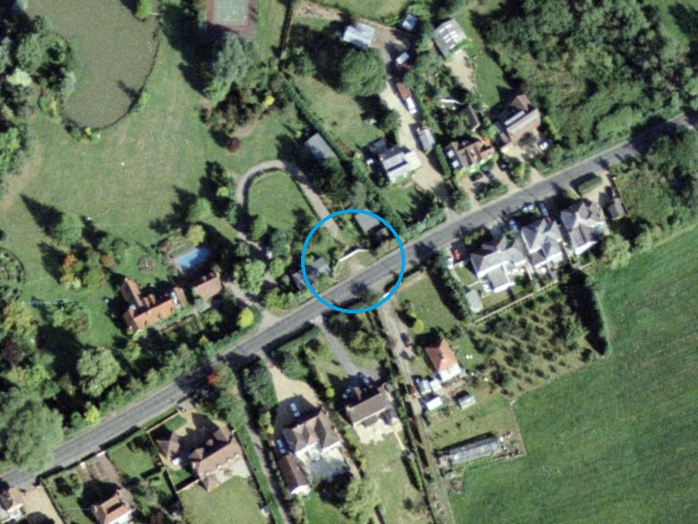
The same driveway four years later, blocked by a fence; Collection: Simmons Aerofilms Ltd., Sortie: AF/96C/0594, Frame: 4942
How to access imagery
There are two ways to order NCAP imagery;
- Visit the Air Photo Finder which provides easy access to previously digitised imagery that is ready to order at optimal resolution.
Air Photo Finder
- NCAP offers a Scan-on-Demand Service where you can identify specific new images for digitisation by using Finding Aids where available. See the How-To Guides for help using the Finding Aids and ordering imagery.
How-To Guides Scan on Demand
NCAP’s aerial photography has proven to be a vital tool for legal professionals and homeowners alike. Accompanied by a Letter of Authenticity that verifies the image’s provenance, these photographs have helped to resolve disputes by providing irrefutable historical evidence.
To add a Letter of Authenticity to your order, please request this in the 'additional information' section of the Image Order Form.
More Case Studies

Missing in Action
Aerial imagery can be a vital tool for locating the remains of service personnel killed during military action or while serving as prisoners of war.

Creative Uses
From D-Day to the hunt for secret German weapons, the creative industry has used NCAP imagery to provide authenticity to their productions.
Explosive Ordnance Disposal
NCAP imagery is used by Explosive Ordnance Disposal specialists to manage and mitigate the risks posed by unexploded ordnance.
Land-use Change
Monitoring and analysing changes in land use is an essential part of planning for a sustainable future and is a commercial, political and technical challenge.
Police Investigation
NCAP aerial photography has long been used by Police Scotland in investigations and when reviewing cold cases to assess landscape changes.