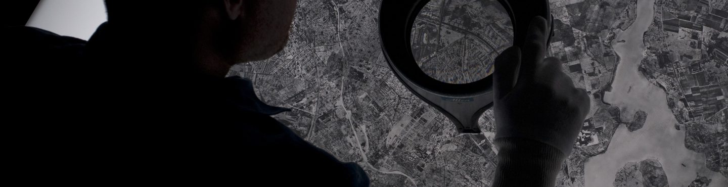
Police Investigation
Aerial imagery can play a crucial role in reviving cold-case police investigations, offering a unique perspective on historical crime scenes and revealing changes over time that may provide new evidence.
A VIEW FROM ABOVE
NCAP’s aerial photography has been utilised by various divisions of Police Scotland in reviewing cold cases and conducting long-running investigations.
Over the years, crime scenes can undergo significant changes, such as landscaping, construction or demolition. These alterations can not only disturb physical evidence but also transform the area's features, making it harder for police investigators to visualise the original scene.
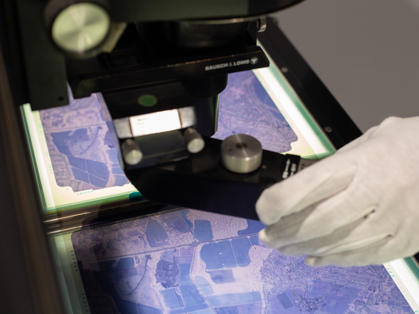
UNDERSTANDING A CRIME SCENE
Historical aerial imagery, captured on specific dates, helps detectives understand the broader context of a crime scene as it was around the time of the incident, providing visual records that more closely reflect the original landscape. This imagery aids in verifying observations and statements, assessing lines of sight, and examining access and egress routes to and from the crime scene.
Additional evidence
The advantage of using aerial photography is that it can show features central to a case within their broader context, something that is not possible with other source materials.
Additionally, aerial photographs provide supplementary details not shown on traditional maps and serve as an unbiased resource, capturing the environment exactly as it was at or around the time of an incident.
How to access imagery
There are two ways to order NCAP imagery;
- Visit our online portal which provides easy access to previously digitised imagery that is ready to order at optimal resolution.
Map Search
- NCAP offers a Scan-on-Demand Service where you can identify specific new images for digitisation by using Finding Aids where available. See the How-To Guides for help using the Finding Aids and ordering imagery.
How-To Guides Scan on Demand
More Case Studies

Missing in Action
Aerial imagery can be a vital tool for locating the remains of service personnel killed during military action or while serving as prisoners of war.

Creative Uses
From D-Day to the hunt for secret German weapons, the creative industry has used NCAP imagery to provide authenticity to their productions.

Explosive Ordnance Disposal
NCAP imagery is used by Explosive Ordnance Disposal specialists to manage and mitigate the risks posed by unexploded ordnance.

Boundary Disputes
Spanning 100 years, NCAP's aerial photographs can be vital tools in litigation, providing the crucial detail needed to prove property boundaries and rights of way.

Land-use Change
Monitoring and analysing changes in land use is an essential part of planning for a sustainable future and is a commercial, political and technical challenge.